
-
-
General Background
Umm Batīn is a historic Bedouin village which predates the State of Israel. Located south-east of Route 60, the village is home to around 4,000 people. In 1999, the Israeli government decided to recognize it and it is now one of the villages of the al-Qasum regional council. The name comes from a hill (“batīn” in Arabic) situated in the heart of the village.
Services and Infrastructure
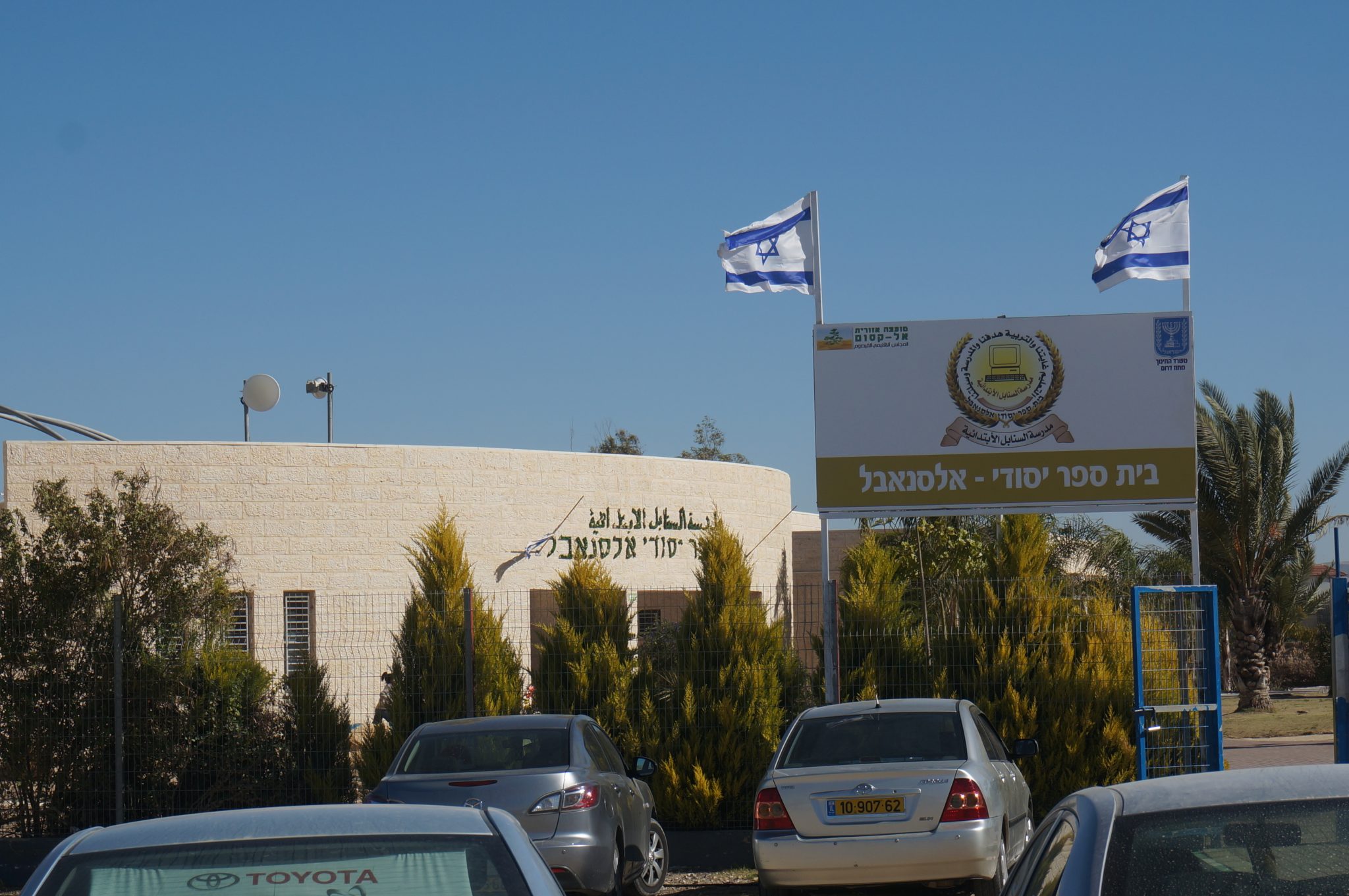
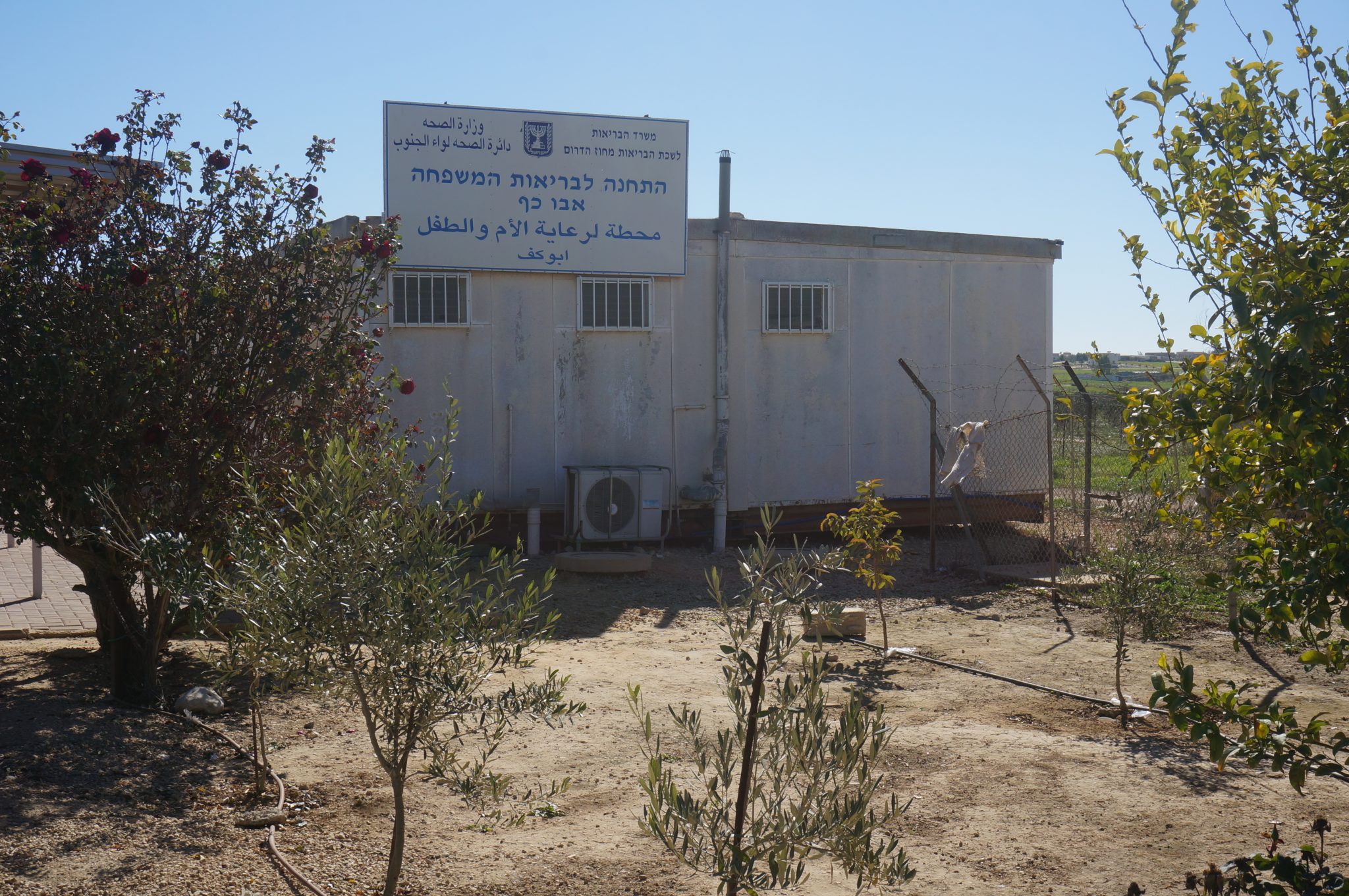
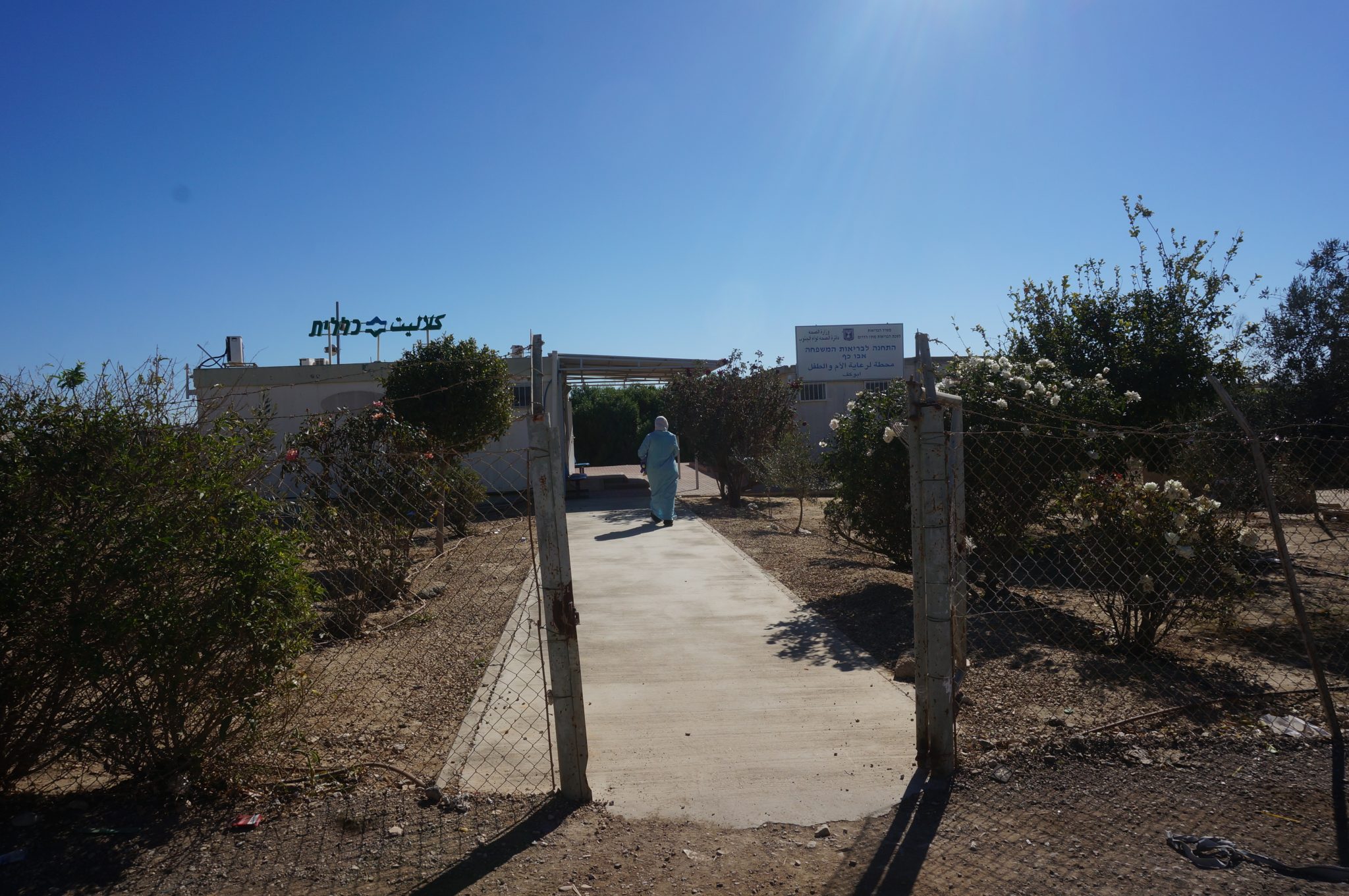
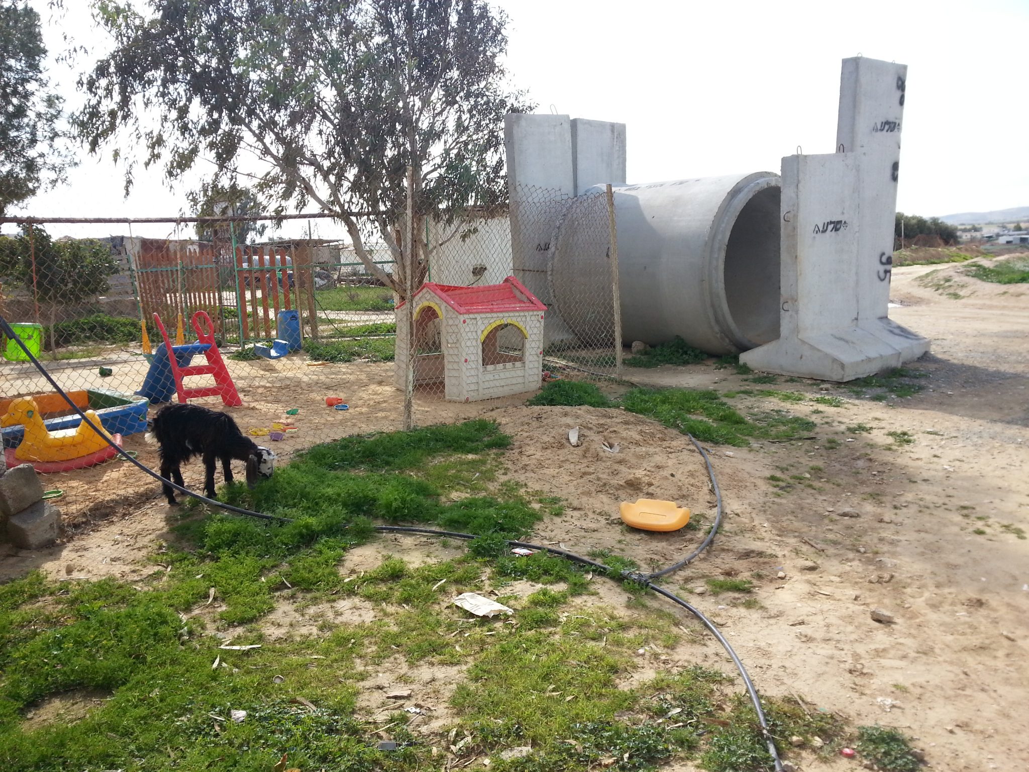
Within the recognized village of Umm Batīn there are two elementary schools, one high school, and seven preschools. There is a clinic which supplies medical services to its inhabitants, and a mother-and-child health station.
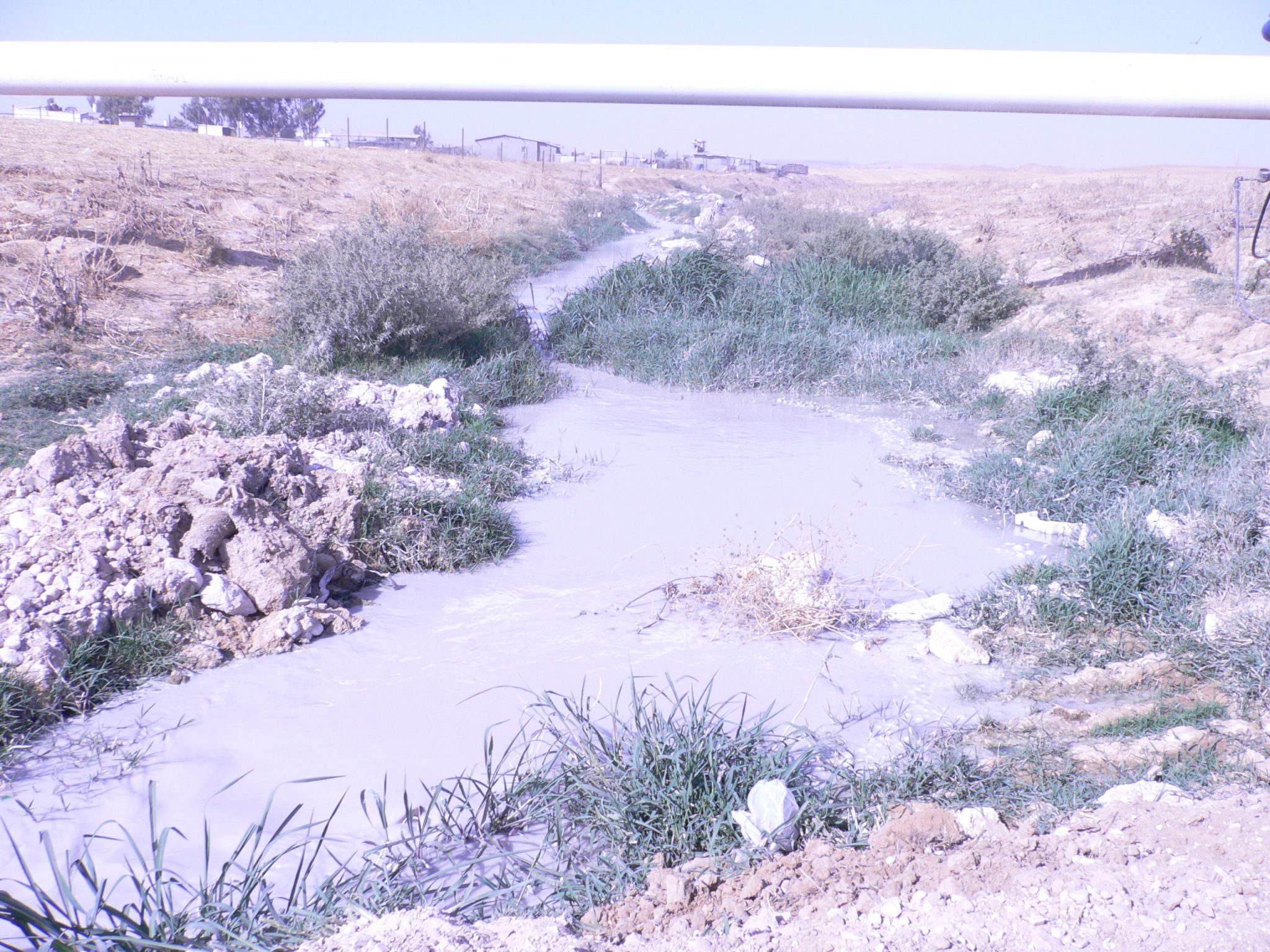
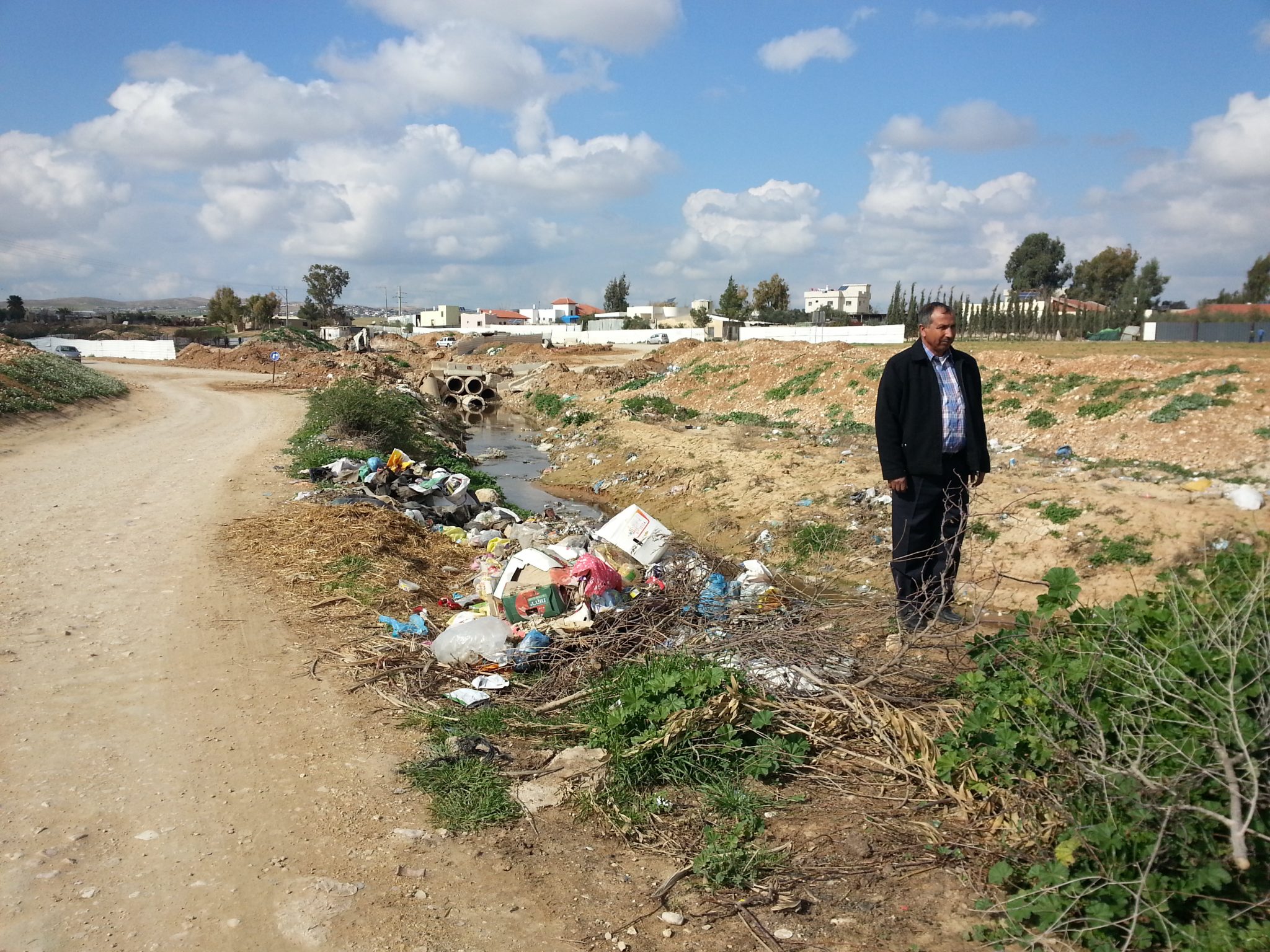
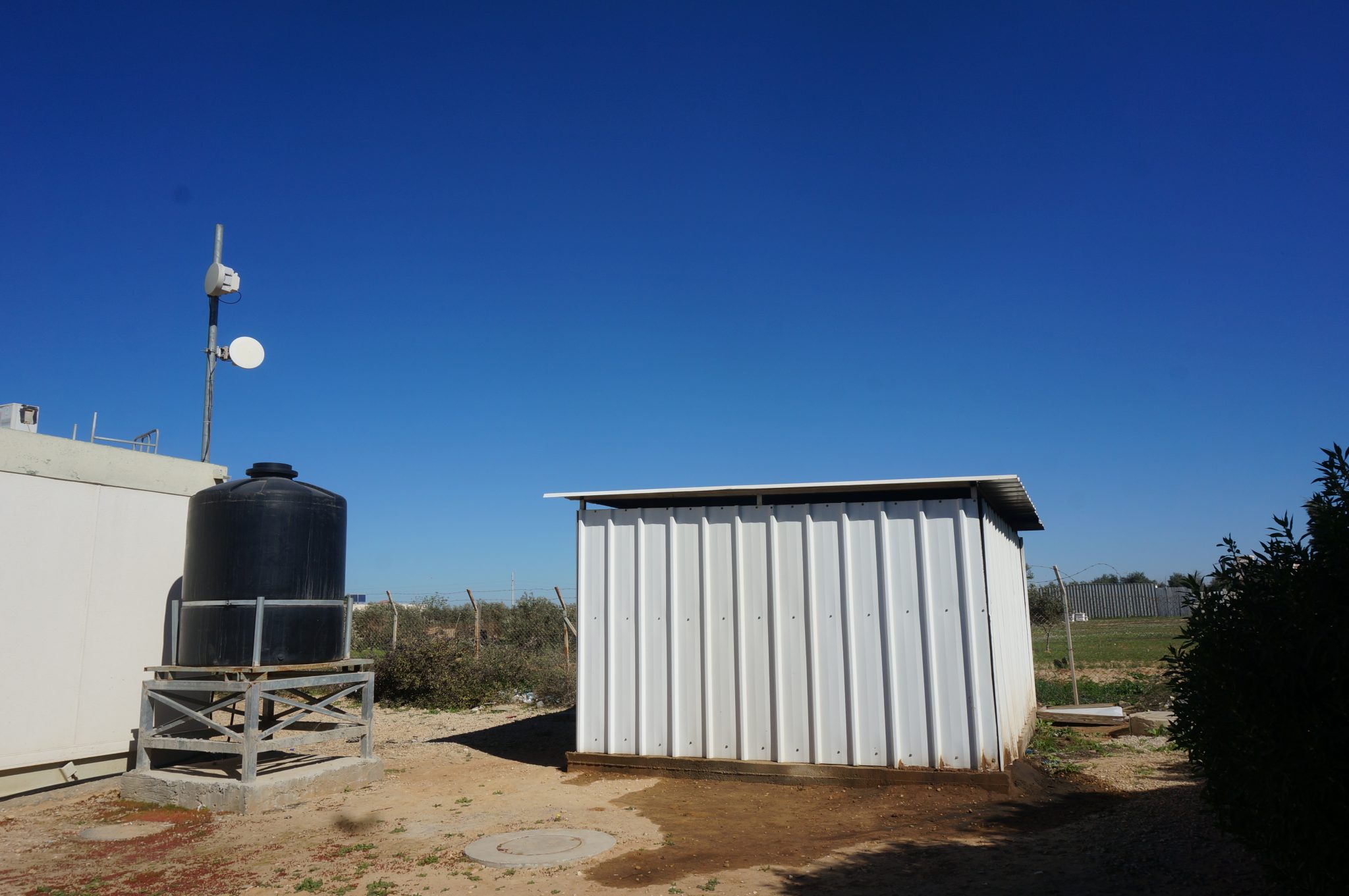
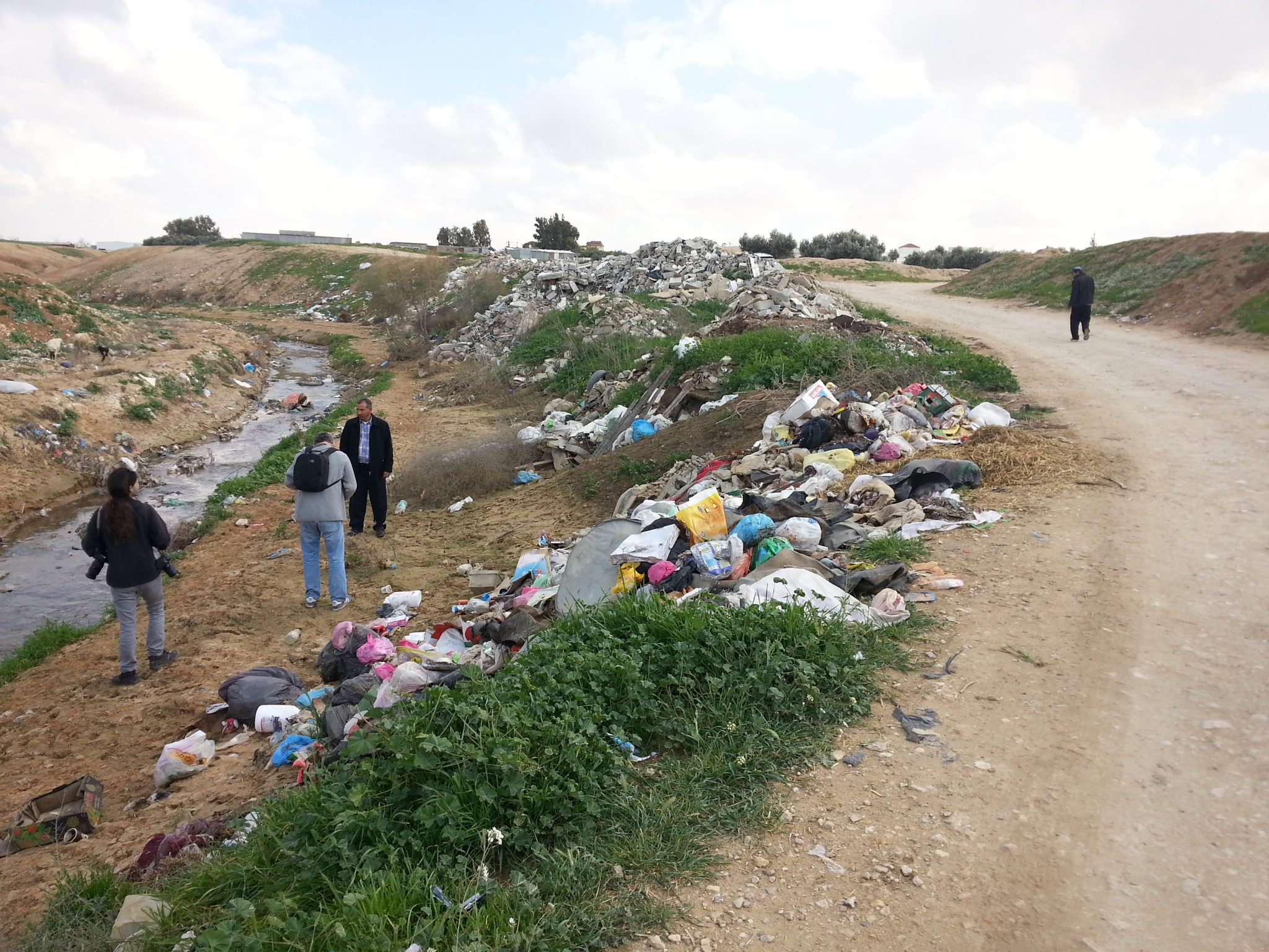
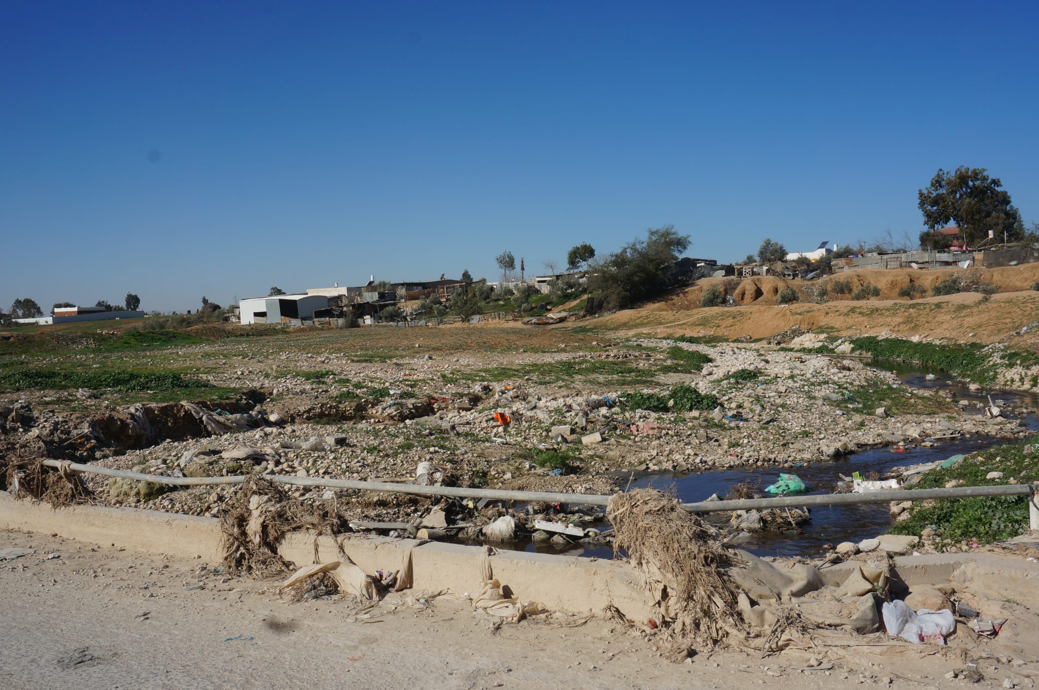
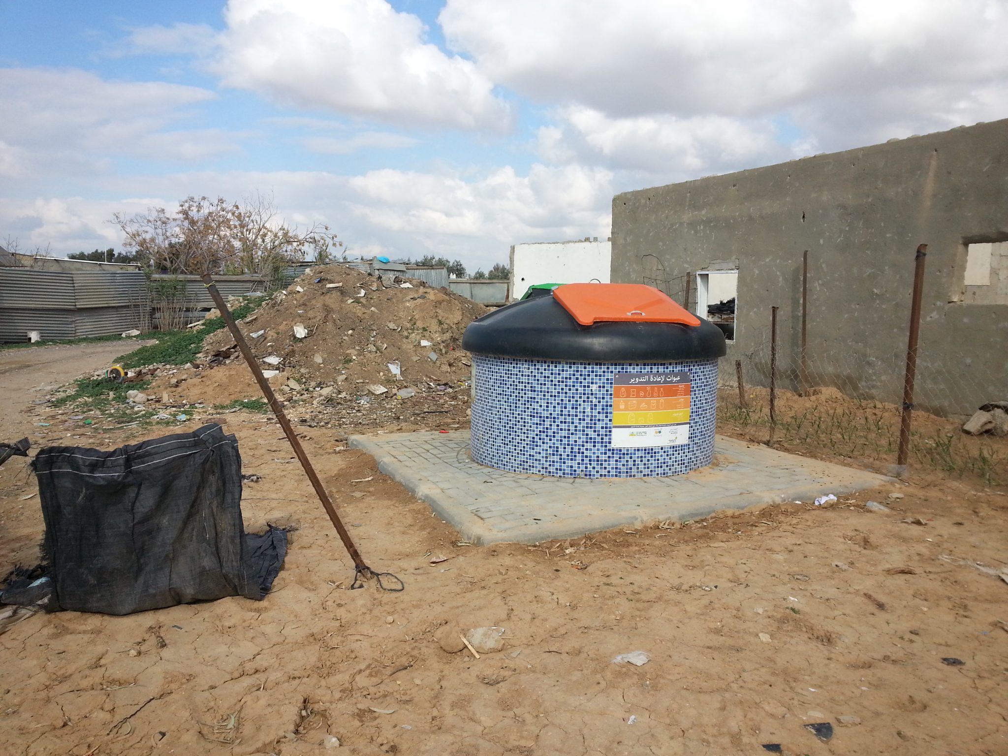
Despite the state’s recognition of Umm Batīn in 1999, the village’s houses are not connected to the national electricity grid, and its residents must make do with solar panels. Nor are the houses connected to the water system, so the villagers run water through pipes to their homes, from a connection point on the main water pipe. The houses in the village are not connected to the waste removal system, and with the exception of one road leading to the school, none of the roads are paved. Garbage removal services operate partially in Umm Batīn, from selected areas only.
Planning Situation
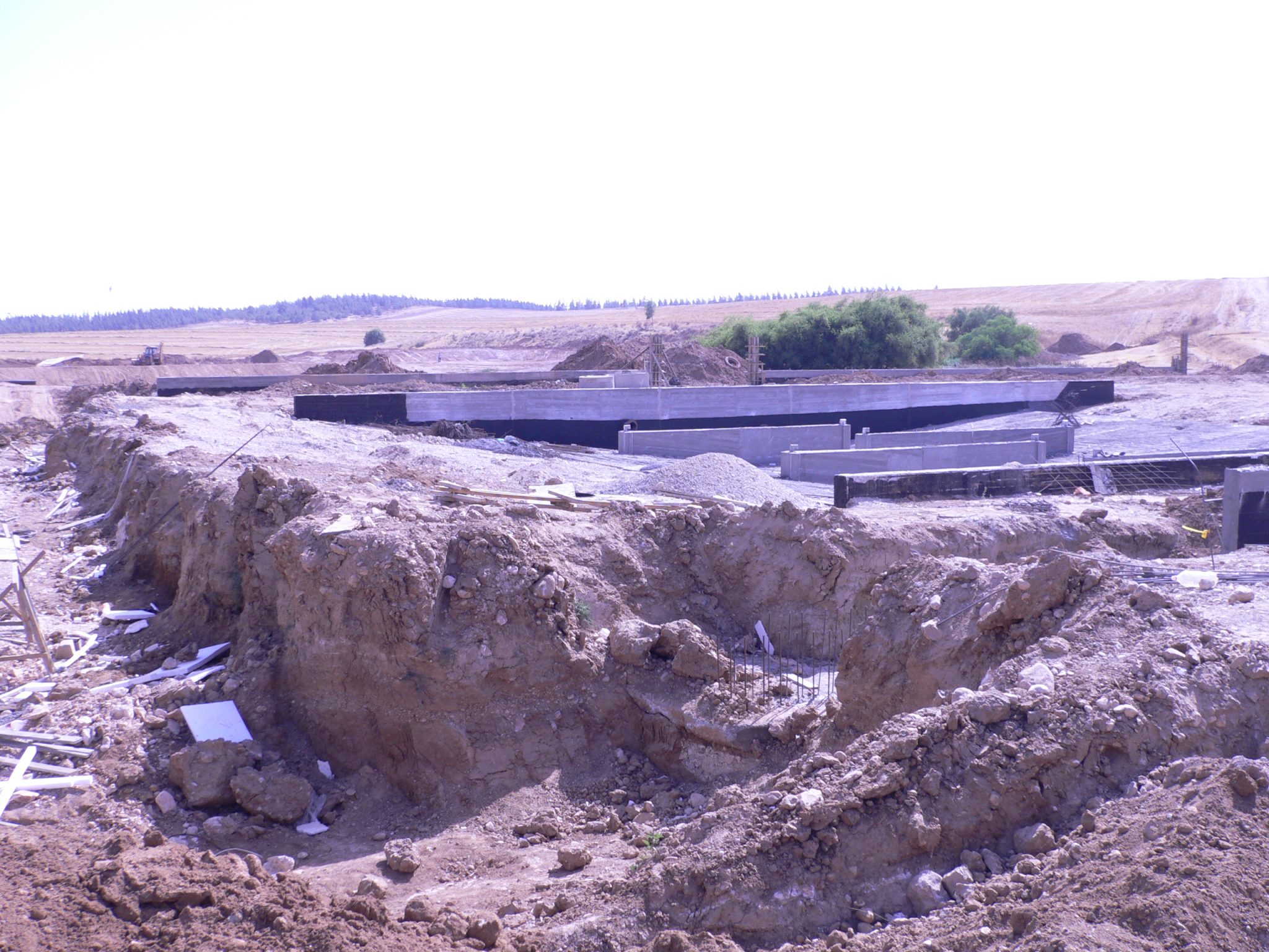
Umm Batīn has a “blue line” which defines the village’s boundaries. However, lacking a detailed master plan, its residents are not able to request building permits. In the absence of such planning, Umm Batīn is subject to the house demolition policy, and there are demolition orders pending over some of its houses.
-
-
-
-
-
 Unrecognized Village
 Recognized Village
 Bedouin Town
-
Threats
-
-
- Cave
- Cemetery
- Cistern
- Other
- Stone house
- Storage Pit
- Well
-