
-
-
General Background
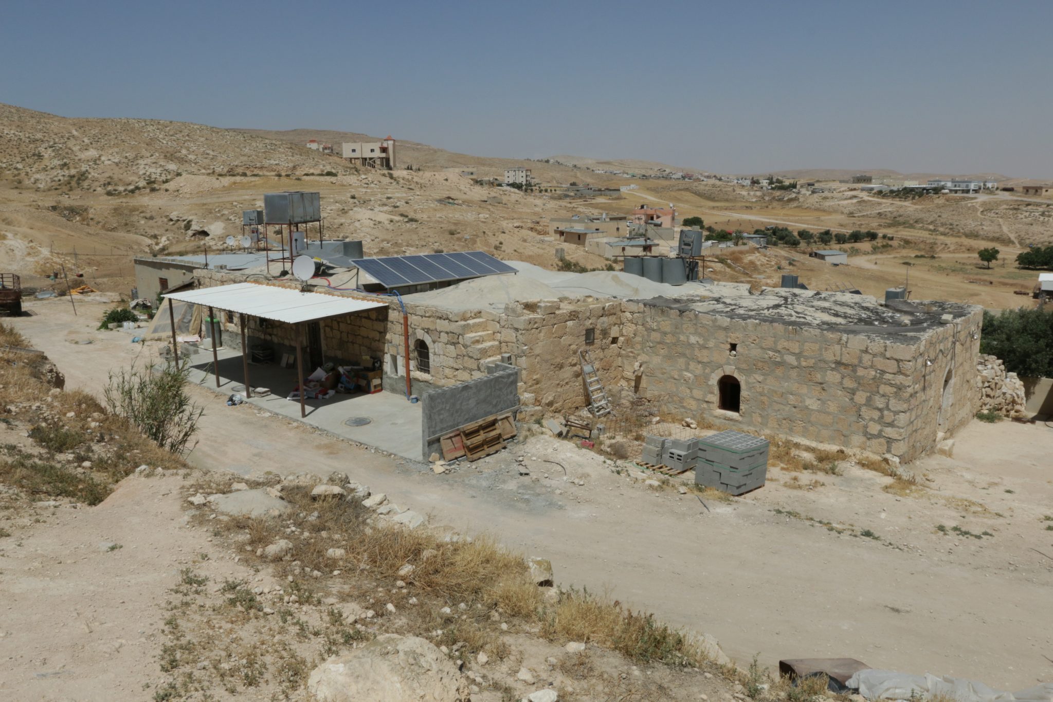
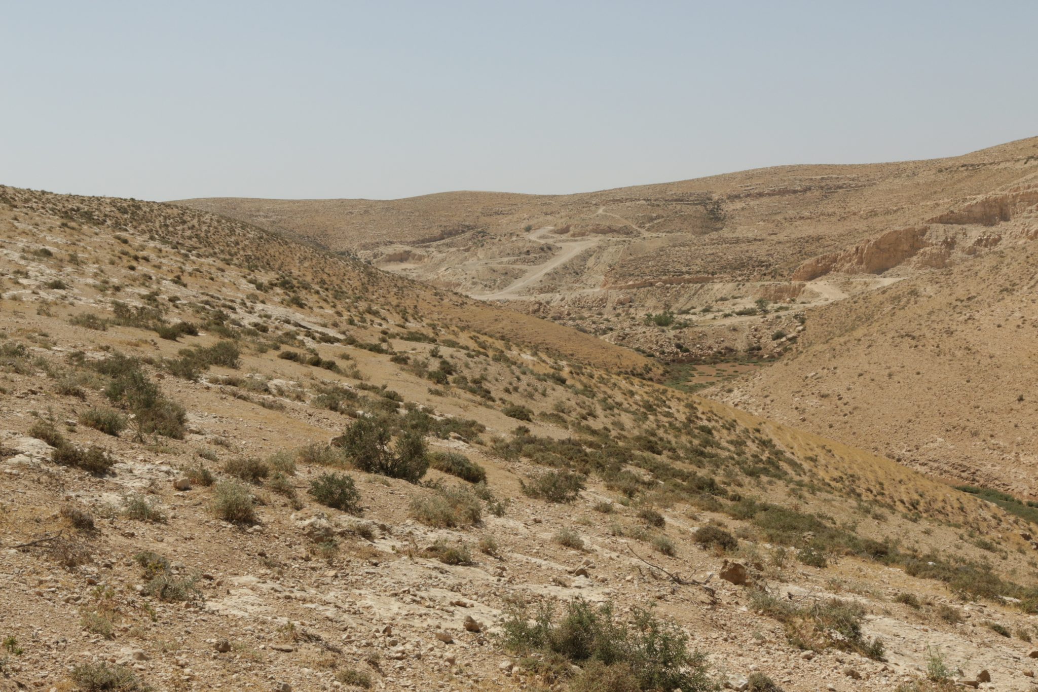
Makḥūl is a historic Bedouin village which predates the State of Israel. Located south of Route 31, the village is home to 800 people. In 1999, the Israeli government decided to recognize a township named “Mar’it”, which was divided into three separate villages: Drījāt, Makḥūl and Kuḥlih. Today, the village of Makḥūl is one of the villages of the al-Qasum regional council. The village’s name stems from the nearby Wādi Kaḥul and Khirbit Kaḥul.
Services and Infrastructure
Within the recognized village of Makḥūl there is one elementary school, and its high school students are bused in daily to the neighboring town of Ksīfih. There are no health services in Makḥūl, so the villagers must travel to Ksīfih in order to receive health care.
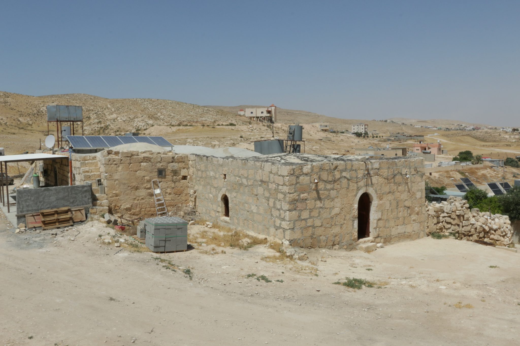
Despite the state’s recognition of Makḥūl, the village’s houses are not connected to the national electricity grid, and its residents must make do with solar panels. Nor are the houses connected to the water system, so the villagers run water through pipes to their homes, from a connection point on the main water pipe. The houses in the village are not connected to the waste removal system, and with the exception of one road leading to the school, none of the roads are paved. Makḥūl has no garbage removal services.
Planning Situation
Makḥūl has a “blue line” which defines the village’s boundaries. However, since it lacks a detailed master plan, its residents are not able to request building permits. Without this planning, the village’s houses are subject to frequent house demolitions and there are currently pending demolition orders on some of its houses.
-
-
-


-
-
 Unrecognized Village
 Recognized Village
 Bedouin Town
-
Threats
-
-
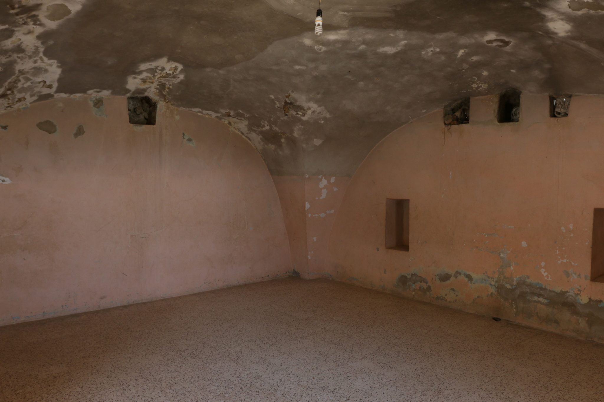
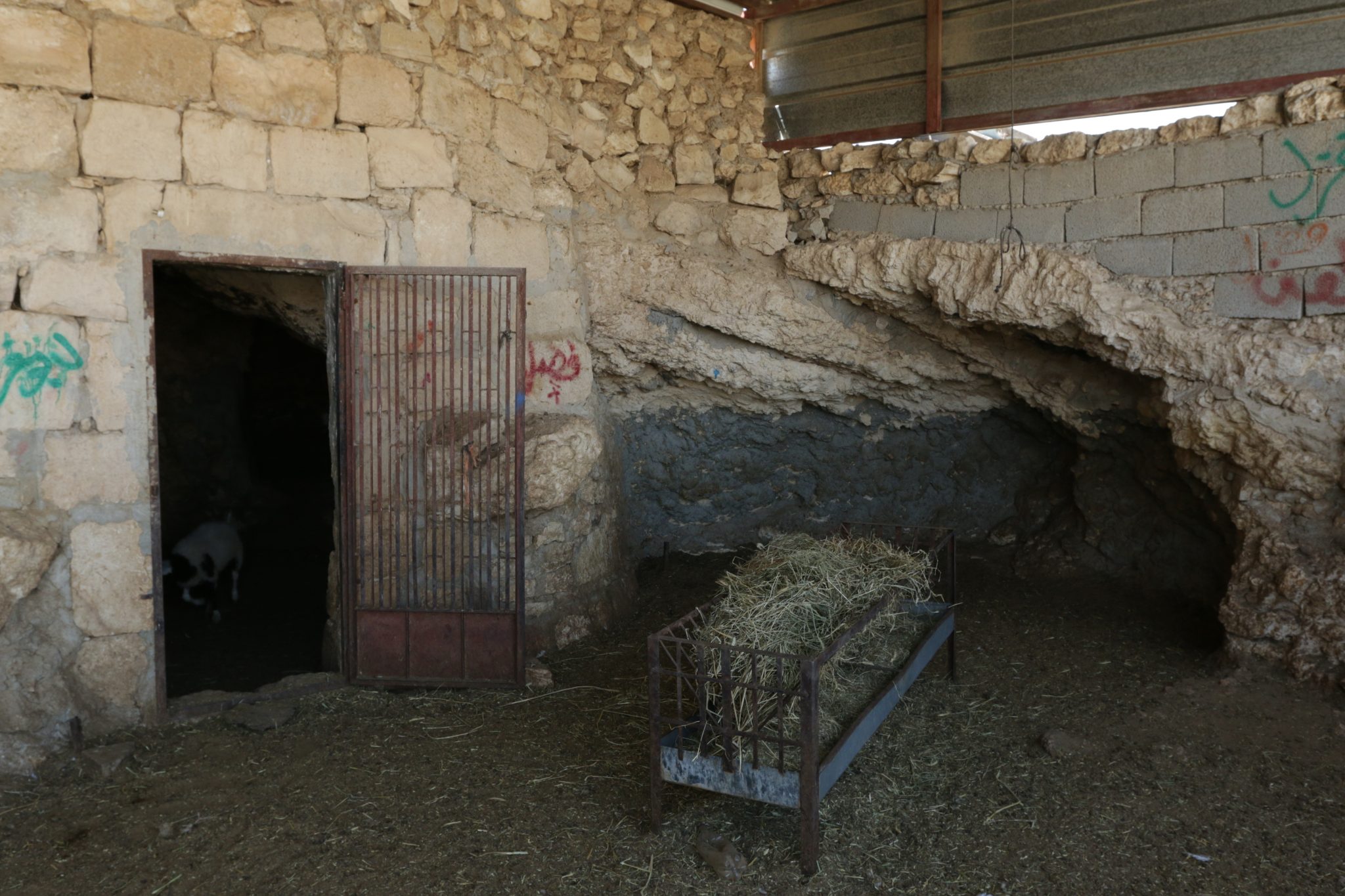
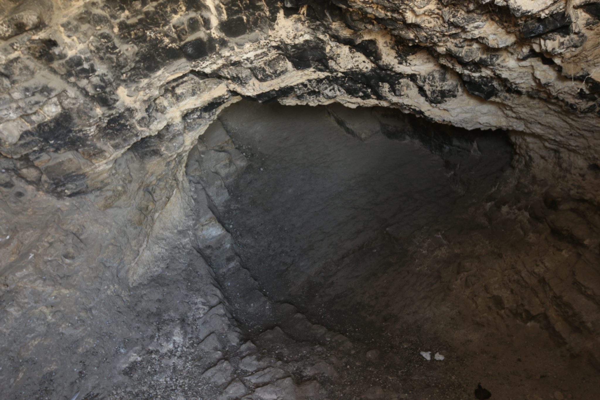
- Cave
- Cemetery
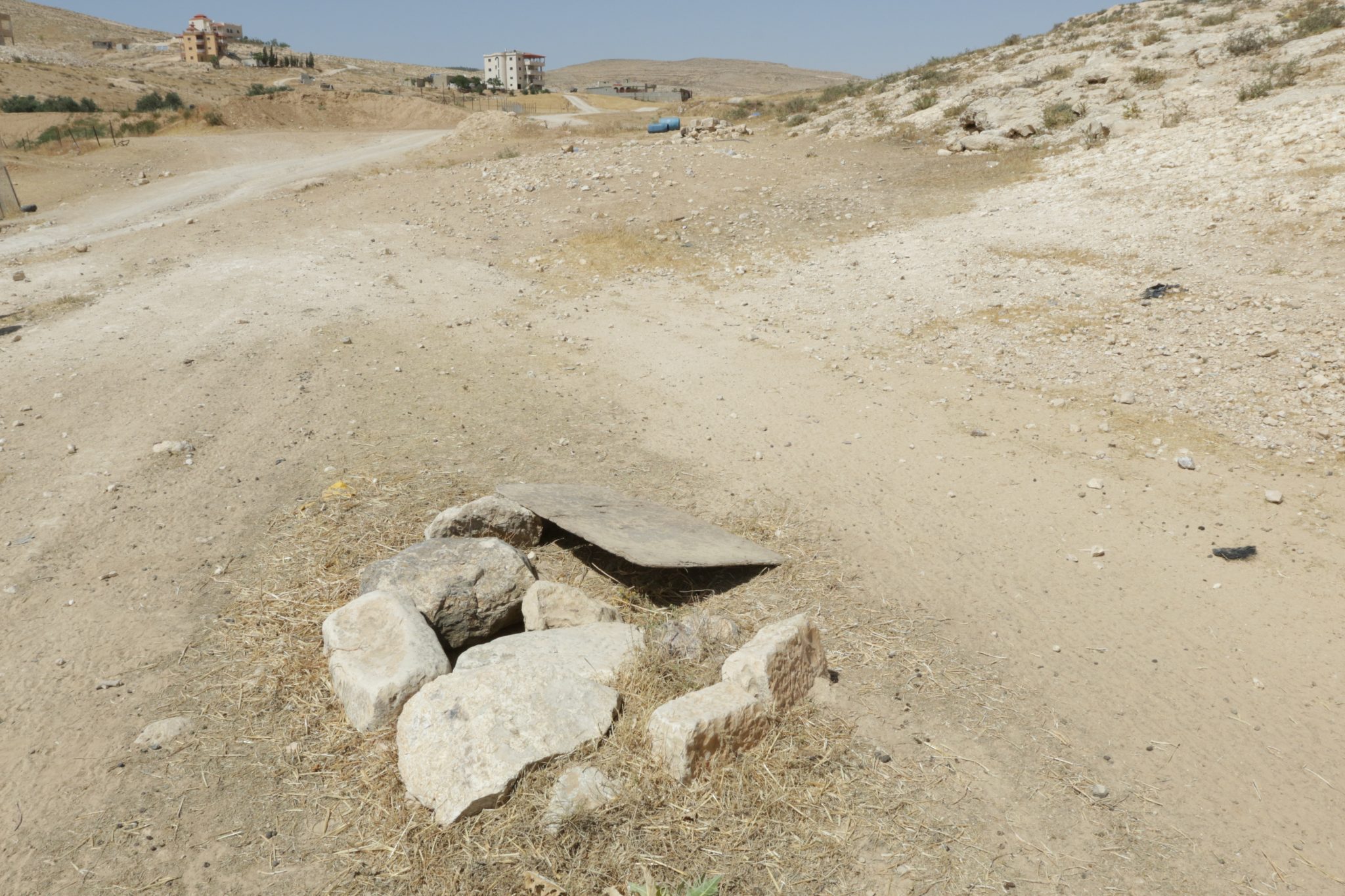
- Cistern
- Other
- Stone house
- Storage Pit
- Well
-