
-
-
General Background
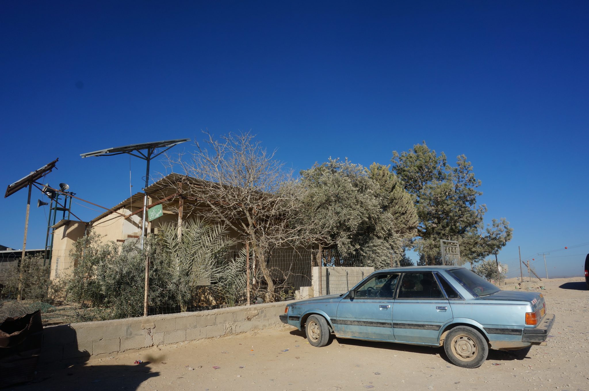
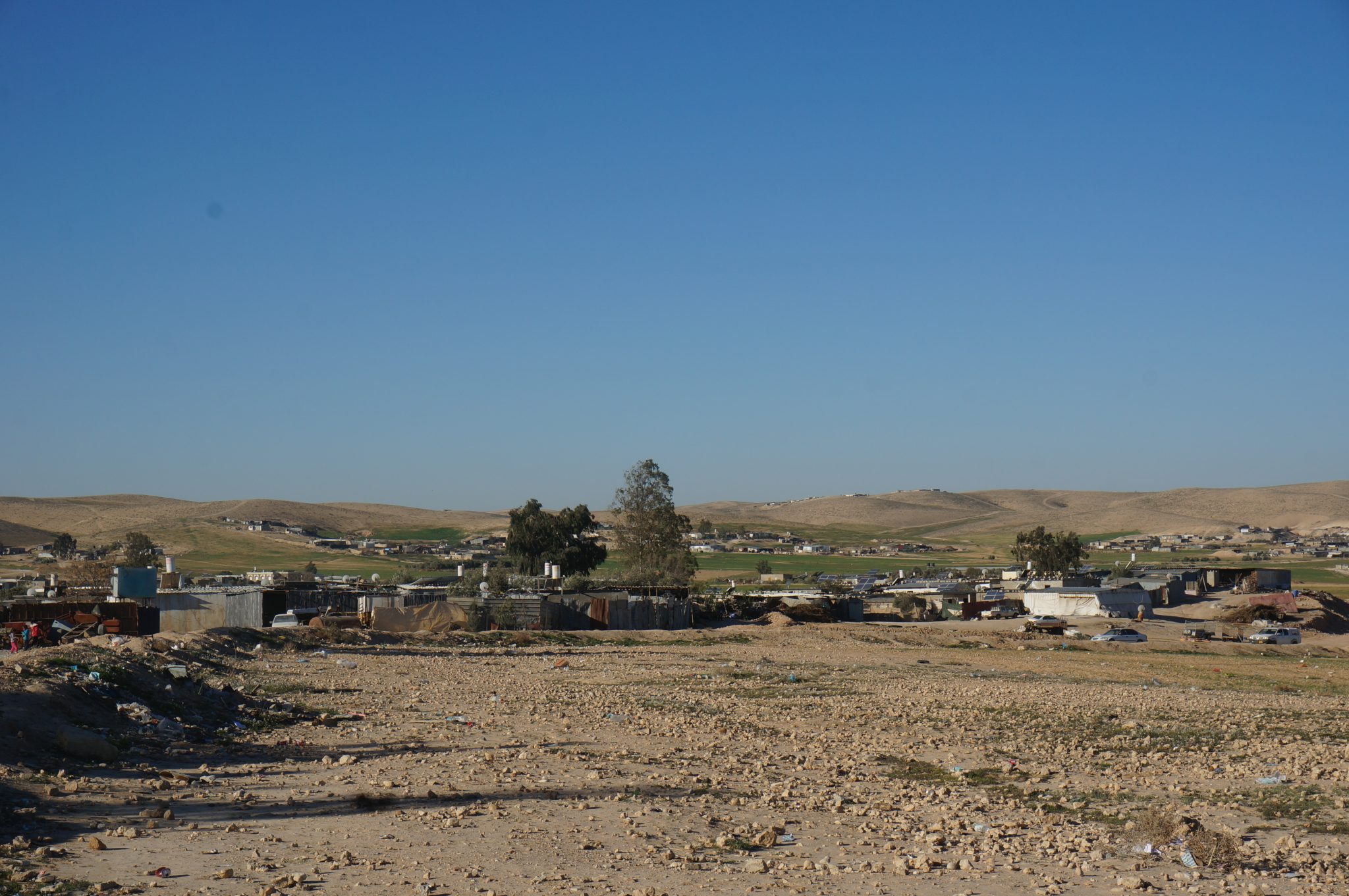
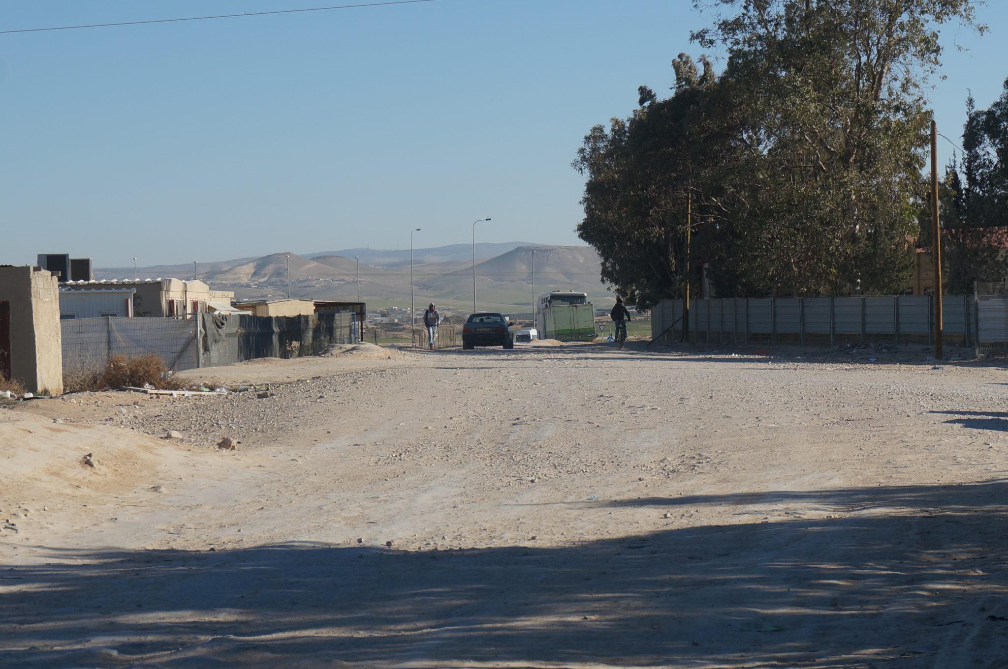
Abu Tlūl aš-Šahbī is a historic Bedouin village established during the Ottoman period. The village is south of Route 25, and is home to 4,500 people. In 2006 the Israeli government decided to recognize the village, and today it is one of the settlements of the Neve Midbar regional council. The name is Arabic for “place on a hill”. Around the area of the village are ancient mud and stone buildings, water cisterns and a historic cemetery.
Services and Infrastructure
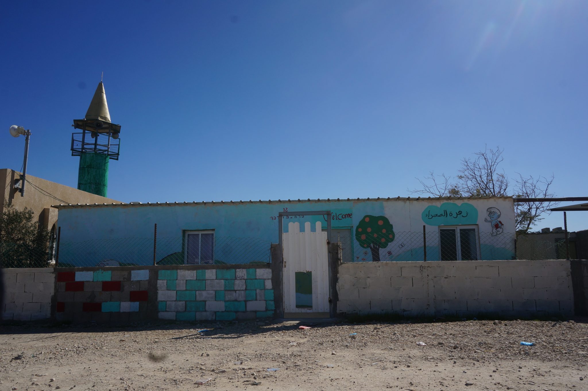
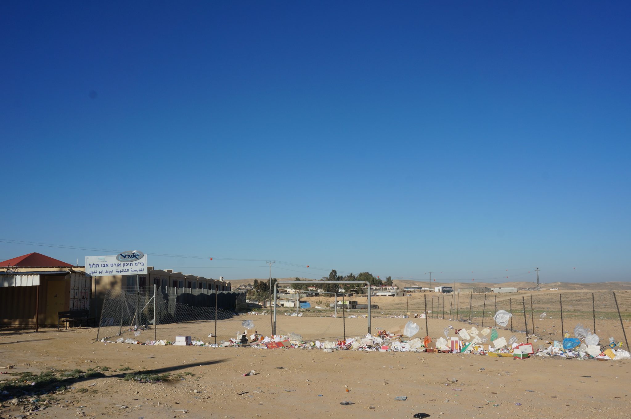
Within the recognized village of Abu Tlūl aš-Šahbī, there are two elementary schools and one high school that are connected to the electricity grid. There is one clinic (associated with the “Clalit” health services organization) and a mother-and-child health station, which offer medical services to the residents.
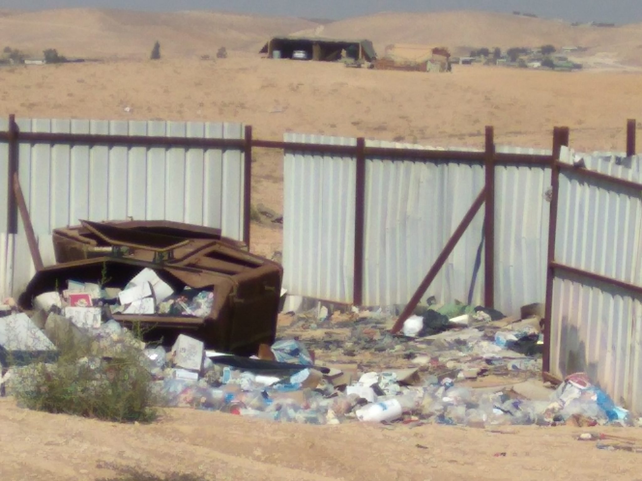
Although the village of Abu Tlūl aš-Šahbī was recognized by the state in 2006, its houses are not connected to the national electricity grid and its residents must use solar panels and generators. Likewise, the houses are not connected to the water system, so the residents use pipes to get water from a connection point on the water grid on Route 25. The village’s houses are not connected to the waste removal system, and its roads are not paved. Garbage removal services are provided only from the school property.
Planning Situation
Abu Tlūl aš-Šahbī has a “blue line” which defines the borders of the village. However, since it lacks a detailed master plan, its residents may not request building permits. Owing to this absence of planning, Abu Tlūl aš-Šahbī has been subject to the house demolition policy and there are still pending demolition orders on some of its houses.
-
-
-

-
-
 Unrecognized Village
 Recognized Village
 Bedouin Town
-
Threats
-
-
- Cave
- Cemetery
- Cistern
- Other
- Stone house
- Storage Pit
- Well
-