
-
-
General Background
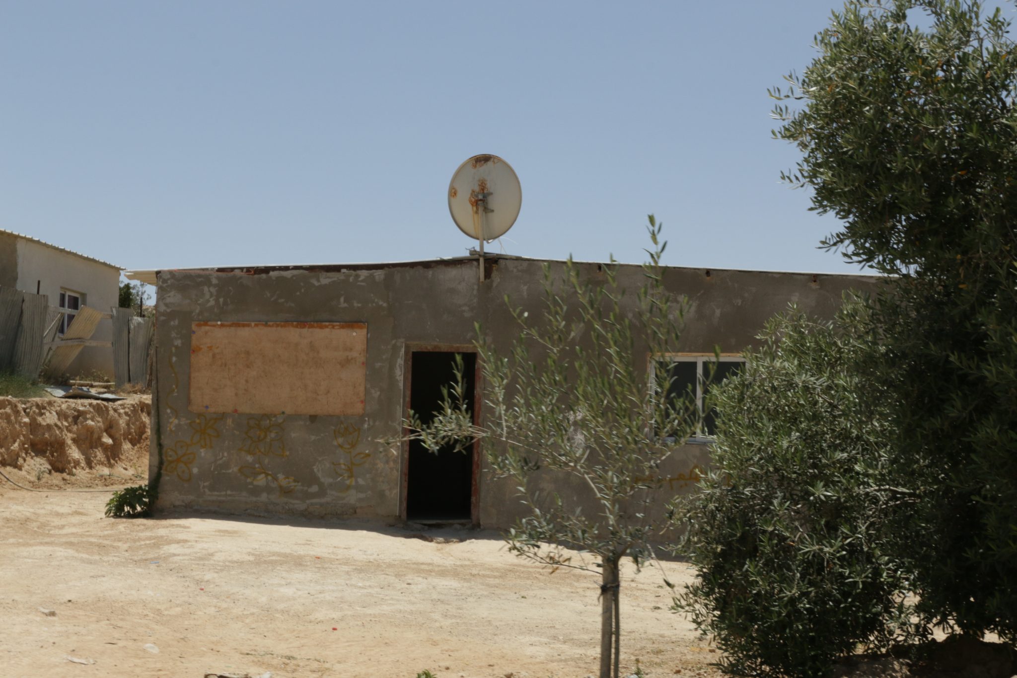
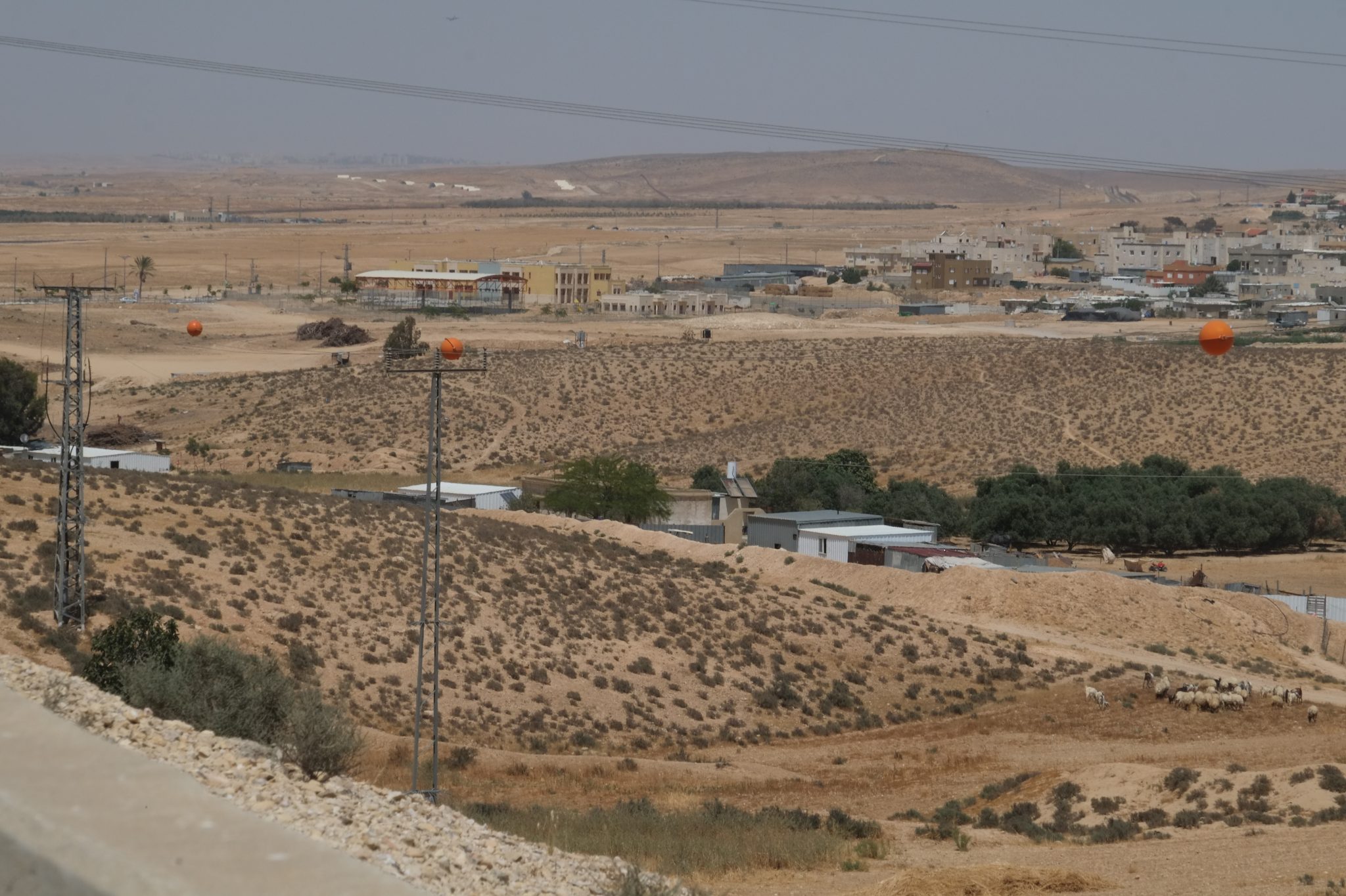
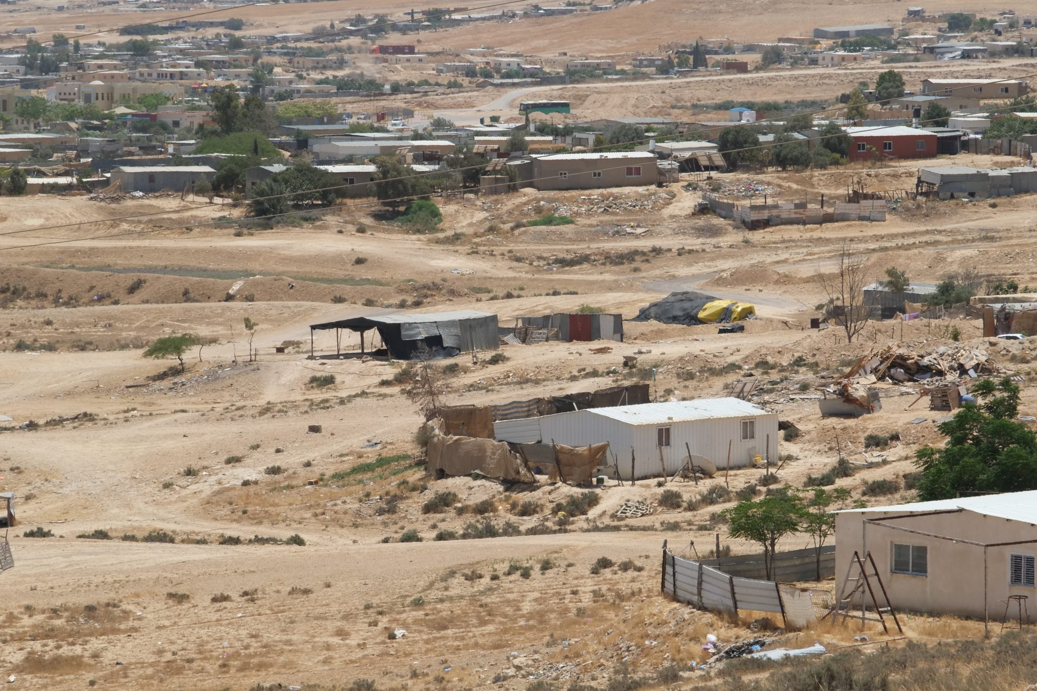
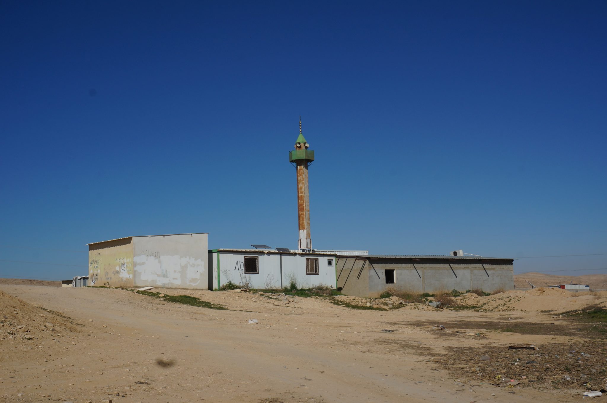
Gaṣir as-Sirr is a historic Bedouin village predating the establishment of the State of Israel. The village is located west of Route 25 close to Dimona, and is home to around 6,000 people. In 1999 the Israeli government decided to recognize it and it is today one of the villages of the Neve Midbar regional council. The village’s name means “palace” (“Gaṣir” in Arabic). The village has a few ancient mud and stone structures, and water cisterns.
Services and Infrastructure
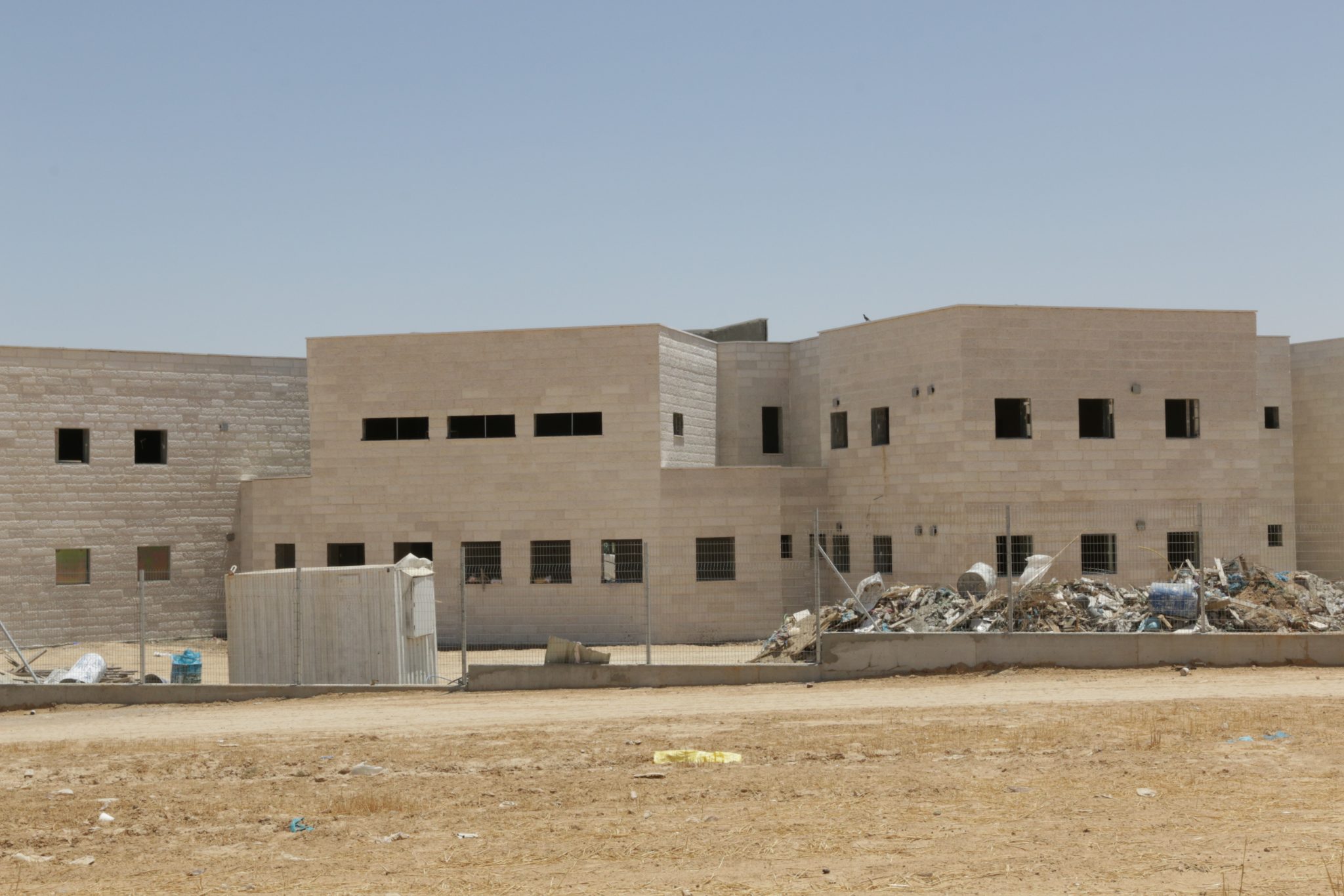
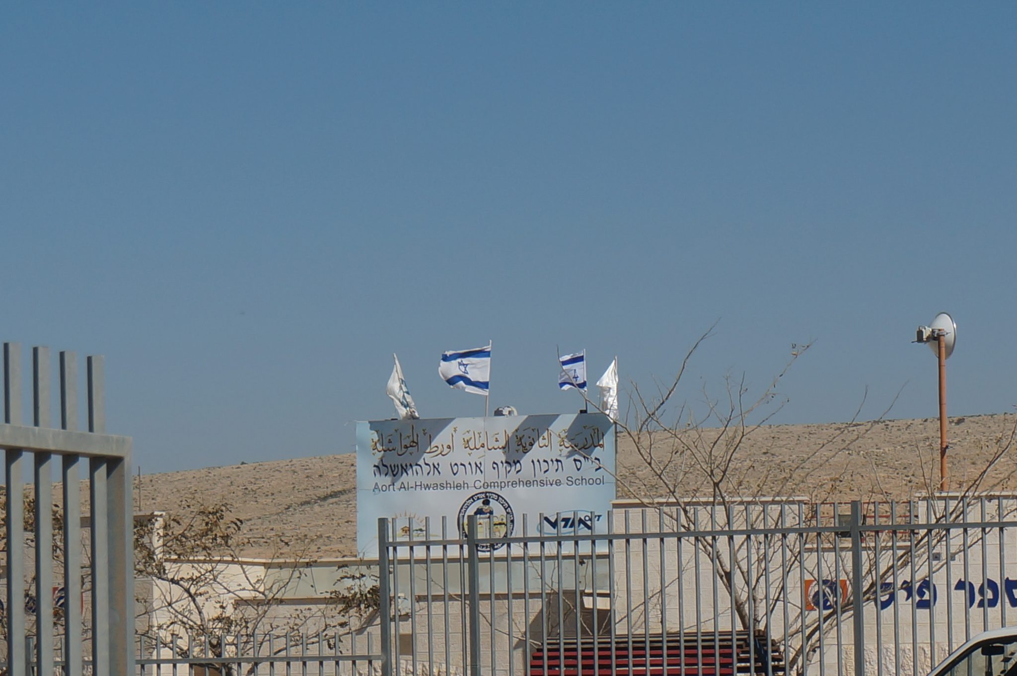
Within the recognized boundaries of Gaṣir as-Sirr are two elementary schools, and one high school. There is a clinic which offers health services to the residents.
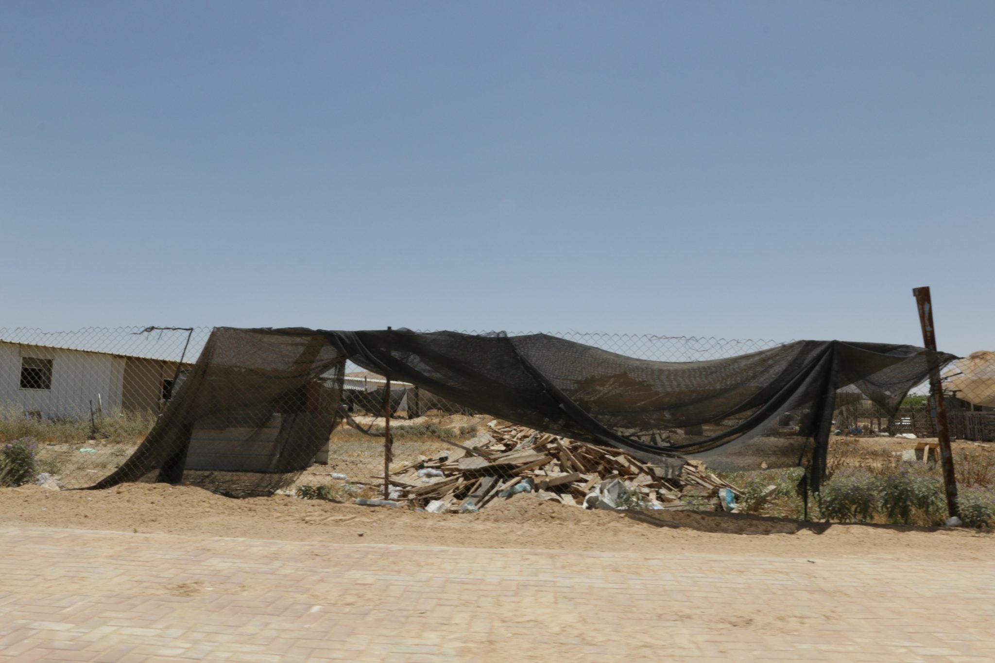
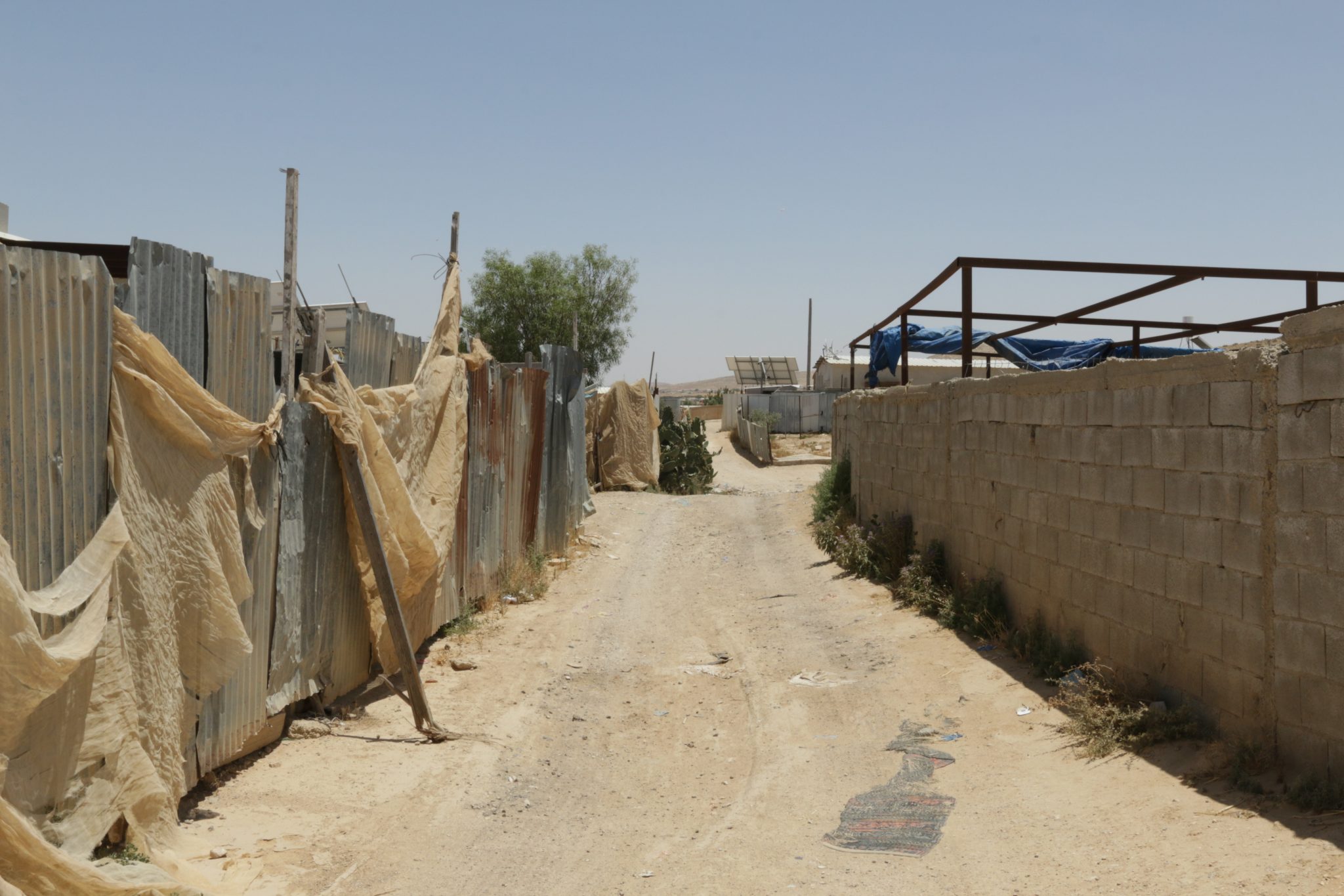
Despite the state’s recognition of Gaṣir as-Sirr in 1999, the village’s houses are not connected to the national electricity grid, and its residents must make do with solar panels. Nor are the houses connected to the water system, so the villagers run water through pipes to their homes, from a connection point on the main water pipe. The houses in the village are not connected to the waste removal system, and with the exception of one road leading to the school, none of the roads are paved. Garbage removal services do operate in Gaṣir as-Sirr.
Planning Situation
Gaṣir as-Sirr has a “blue line” which defines the village’s boundaries. However, since it lacks a detailed master plan, its residents are not able to request building permits. In the absence of such planning, Gaṣir as-Sirr is subject to the house demolition policy, and there are demolition orders pending over some of its houses. In addition, in the course of the recognition of the village, part of it was left outside of the blue line which describes the village.
*Other forms of writing: Qasr al-Sir, Kasr al-Sir
-
-
-

-
-
 Unrecognized Village
 Recognized Village
 Bedouin Town
-
Threats
-
-
- Cave
- Cemetery
- Cistern
- Other
- Stone house
- Storage Pit
- Well
-