
-
-
General Background
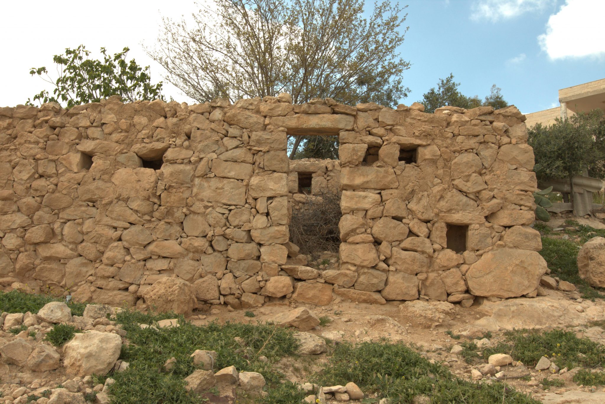
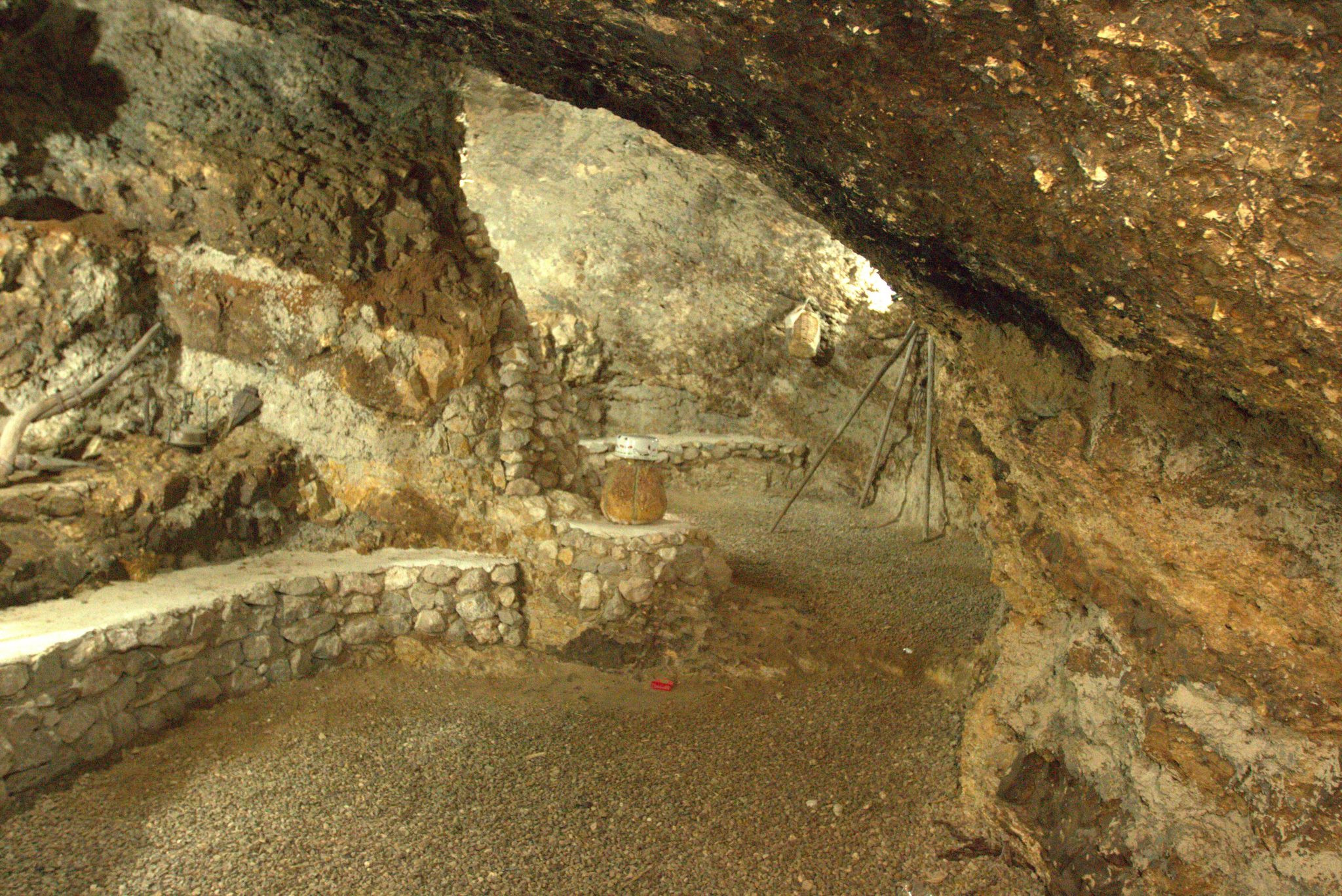
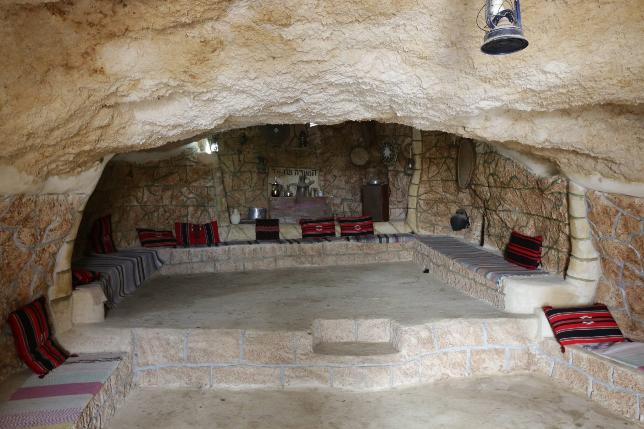
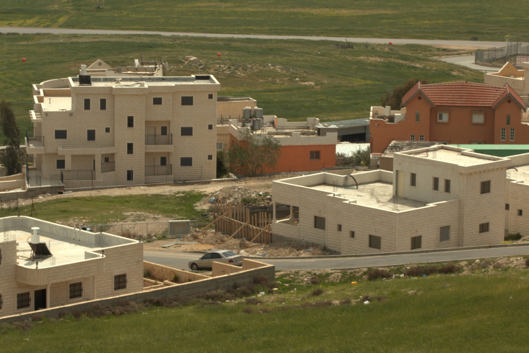
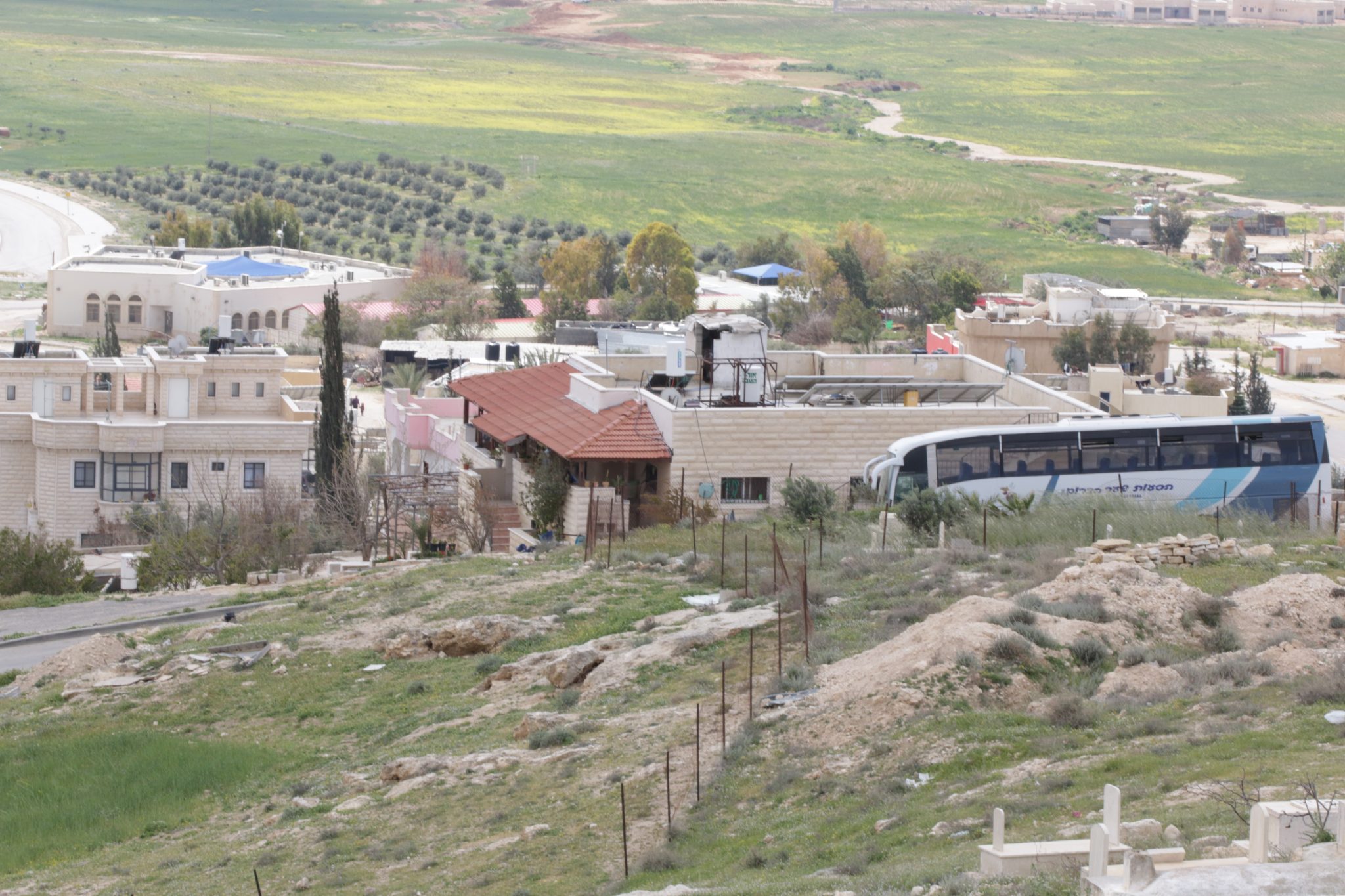
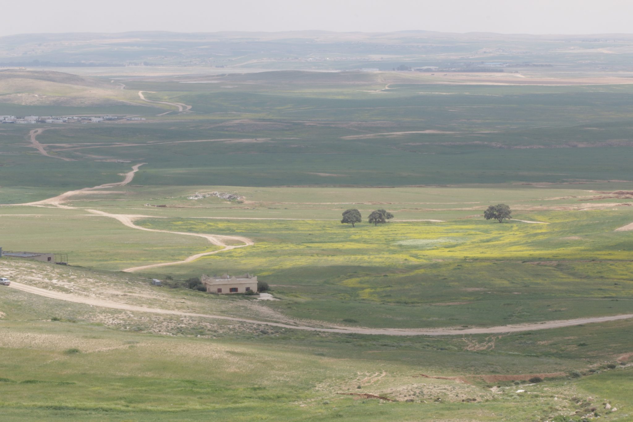
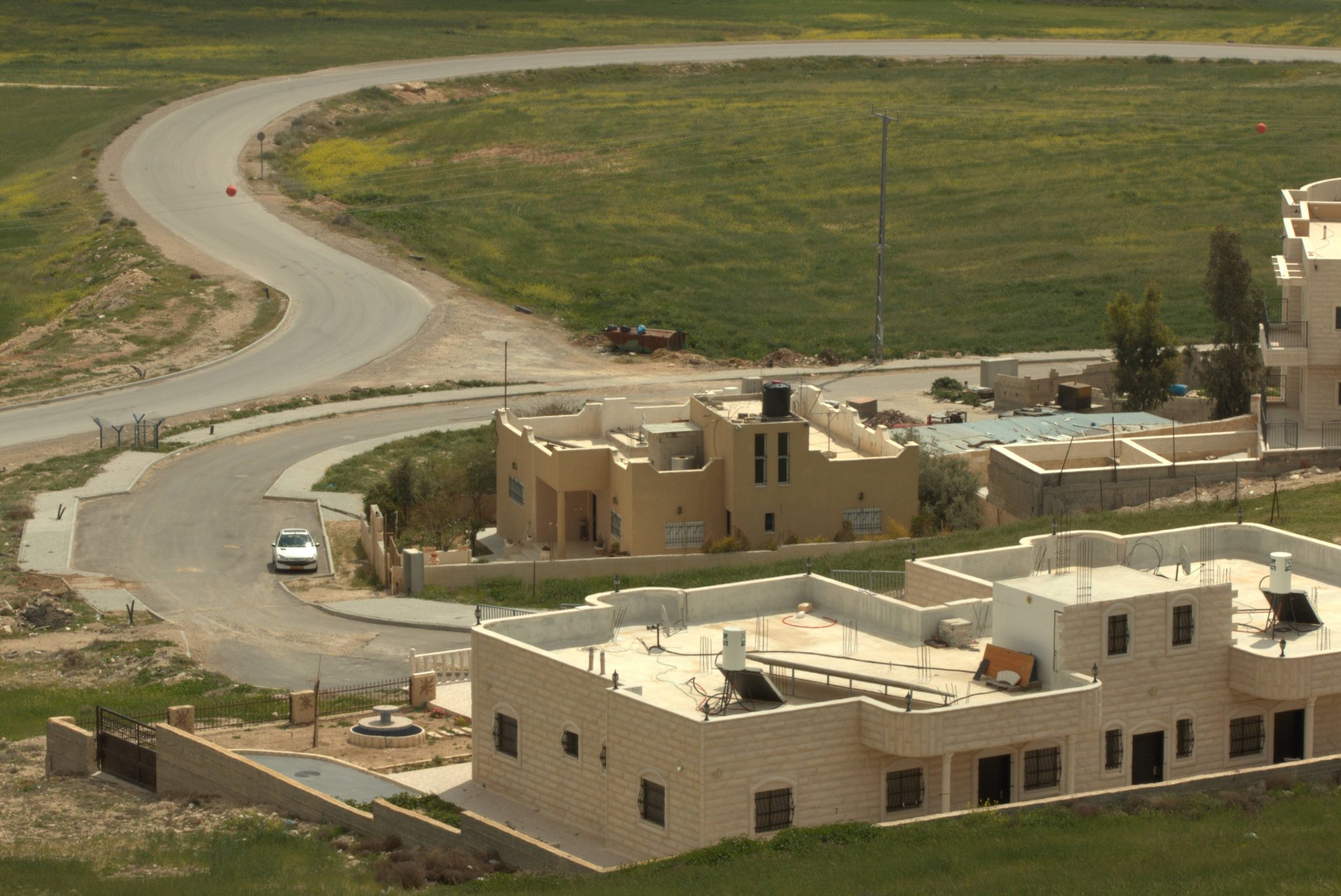
Drījāt is a historic Bedouin village whose existence predates the establishment of the State of Israel. The village is located north of Route 31, and is home to around 1,000 residents. In 1999, the Israeli government decided to recognize a village named “Mar’it”, which was divided into three separate villages: Drījāt, Makḥūl and Kuḥlih. Today, the village of Drījāt is one of the villages of the al-Qasum regional council. The village’s name stems from its location, along the ancient Roman step-path which leads from the south side of Mount Hebron to the Negev. Drījāt contains ancient mud and stone houses, caves and multiple water cisterns, which have supplied the inhabitants in the past.
Services and Infrastructure
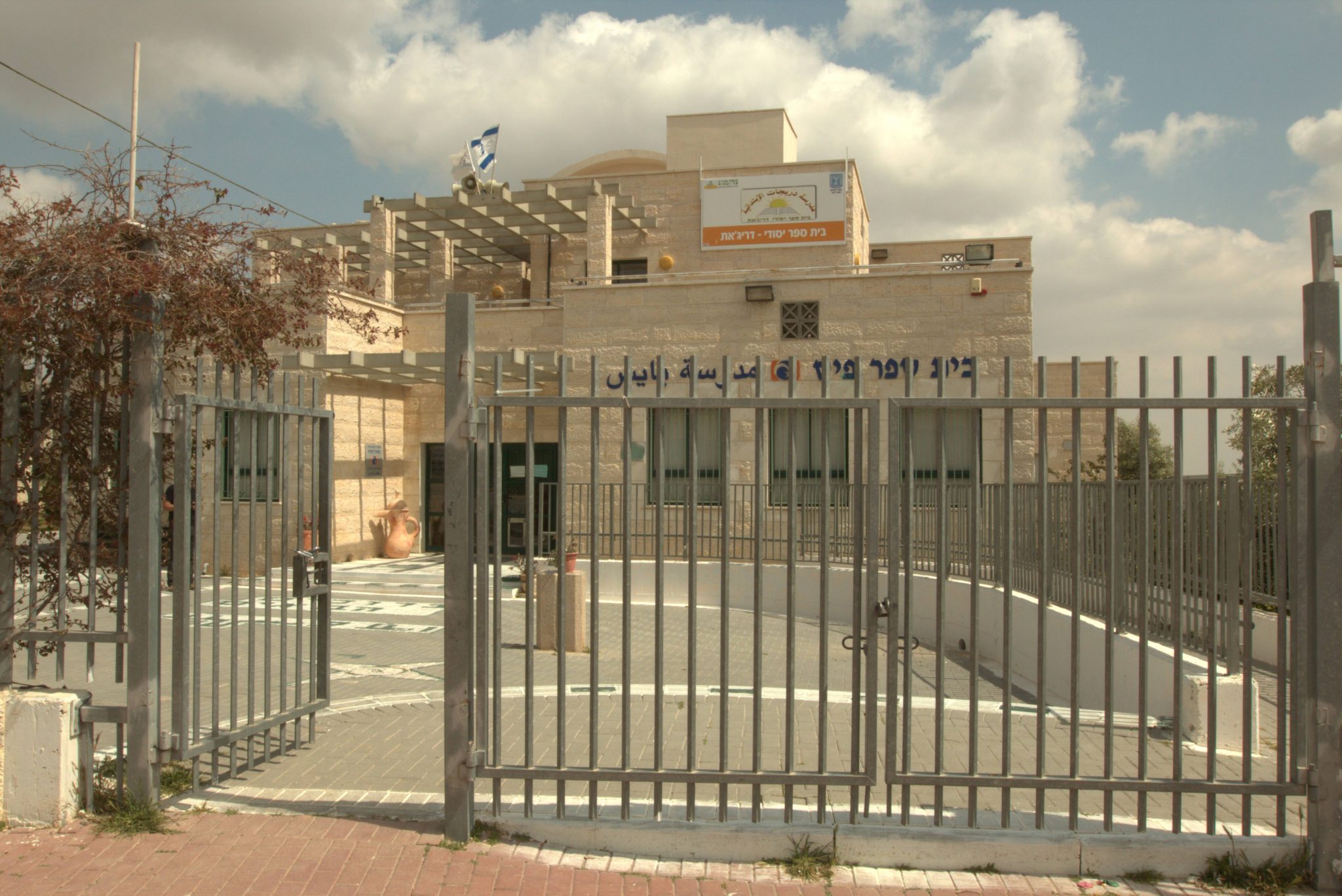
Within the recognized village of Drījāt there is one elementary school, whose students are bused in daily to the neighboring town of Ksīfih. There is a clinic and a mother-and-child health station which supply medical services to its inhabitants.
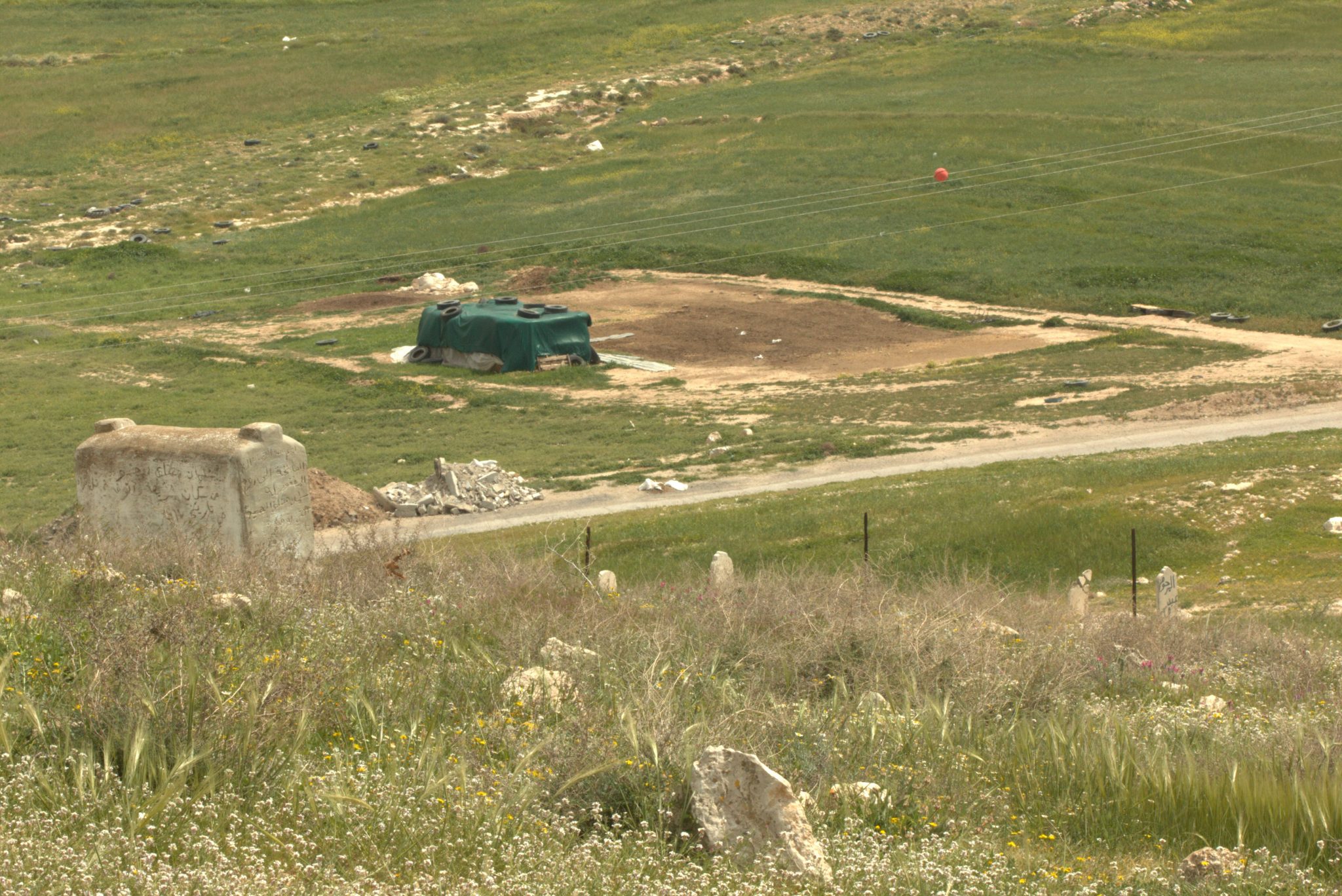
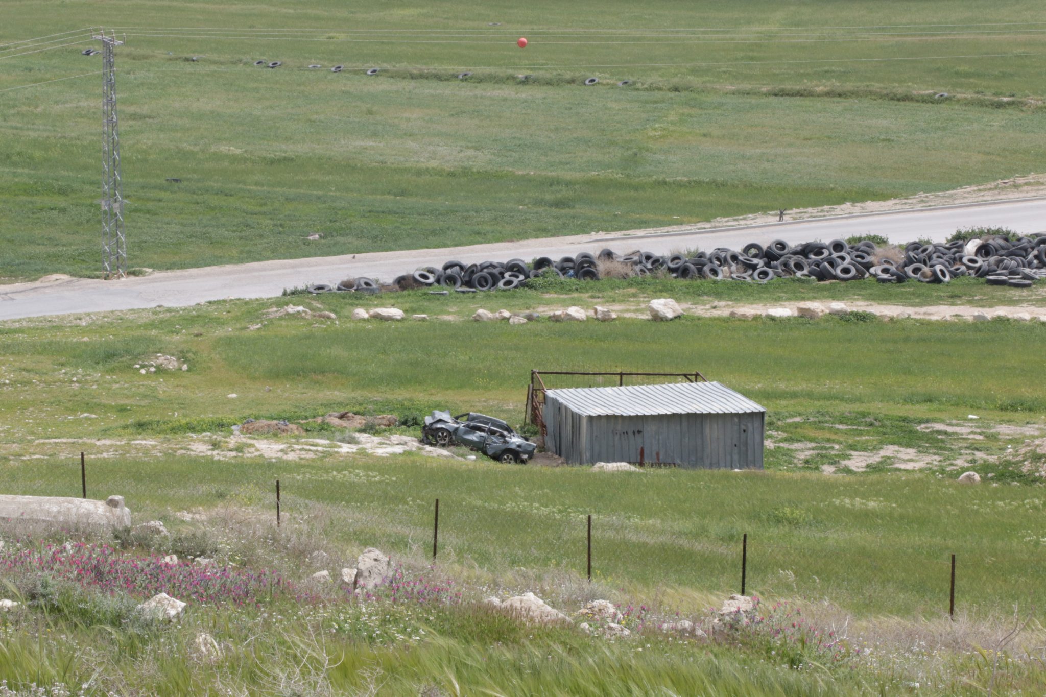
Despite the state’s recognition of Drījāt, the village’s houses are not connected to the national electricity grid, and its residents must make do with solar panels. Likewise, only in 2014 have the authorities begun work on connecting the village’s houses to the water system. The houses in the village are not connected to the waste removal system. In 2014, work has begun on paving roads in the village. Garbage removal services do operate in Drījāt.
Planning Situation
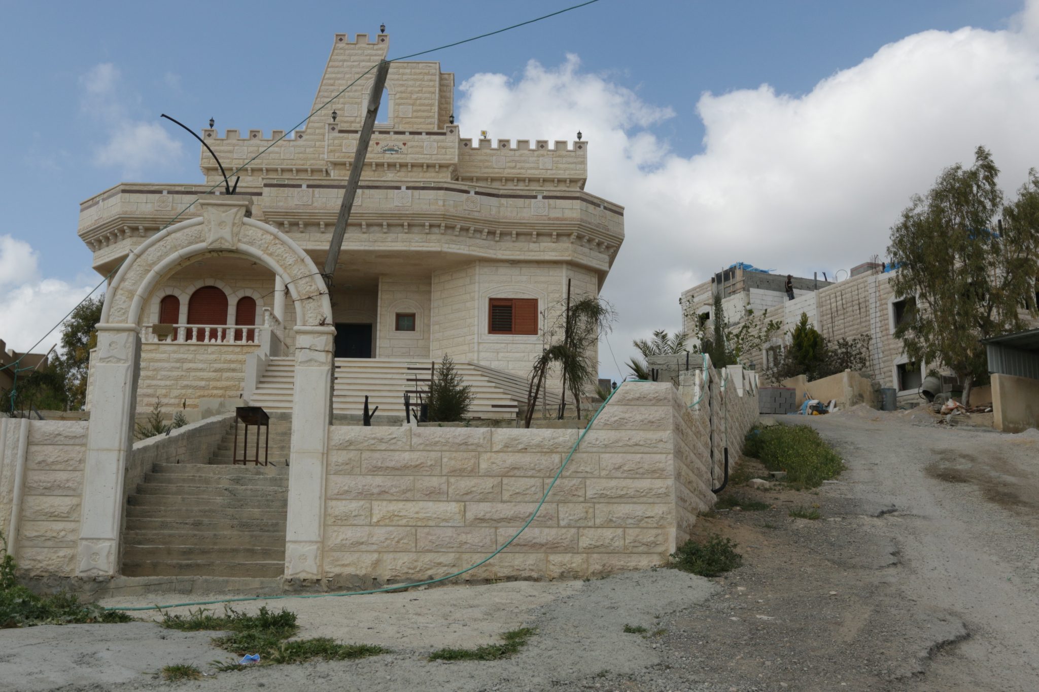
Drījāt has a “blue line” which defines the village’s boundaries. However, it lacking a detailed master plan, and only a few building permits have thus far been granted. Without this planning, the village’s houses are subject to a house demolition policy.
-
-
-
-
-
 Unrecognized Village
 Recognized Village
 Bedouin Town
-
Threats
-
-
- Cave
- Cemetery
- Cistern
- Other
- Stone house
- Storage Pit
- Well
-