
-
-
General Background
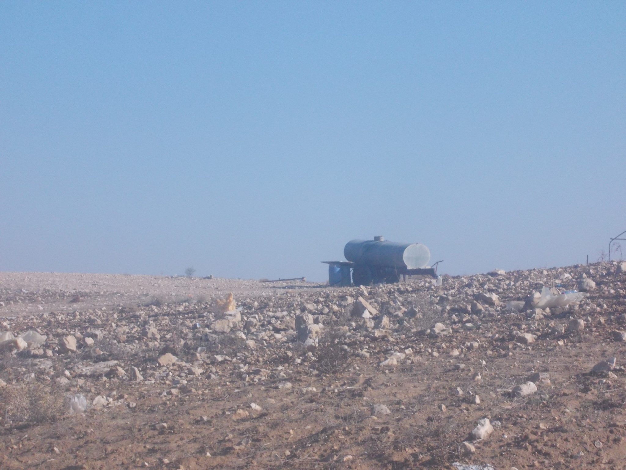
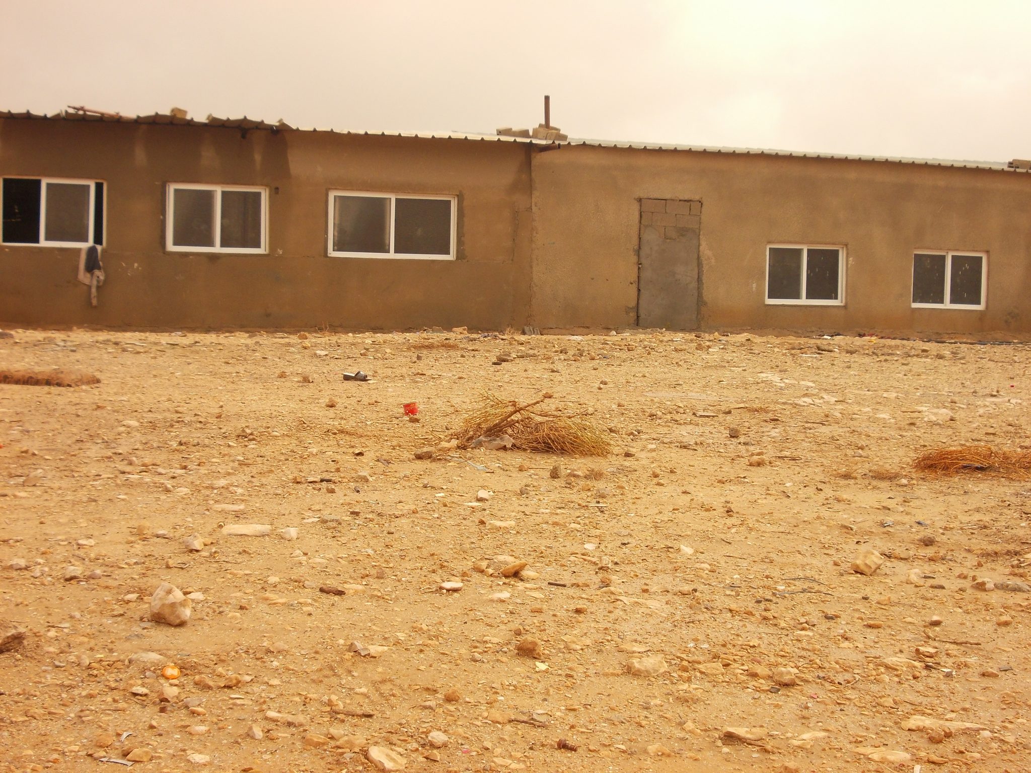
The village of Ṣwāwīn is situated about 10 km south-east of Be’er-Sheva, south of Road 25, and inhabits about 1,200 residents. The village has existed in its present location since before the establishment of the state, and the residents reside on to their lands and claim its ownership. The village is named after the flint rocks – ‘Sawan’ in Arabic – that are found in this area. There are ancient wells as well as a cemetery in the village.
Services and infrastructure
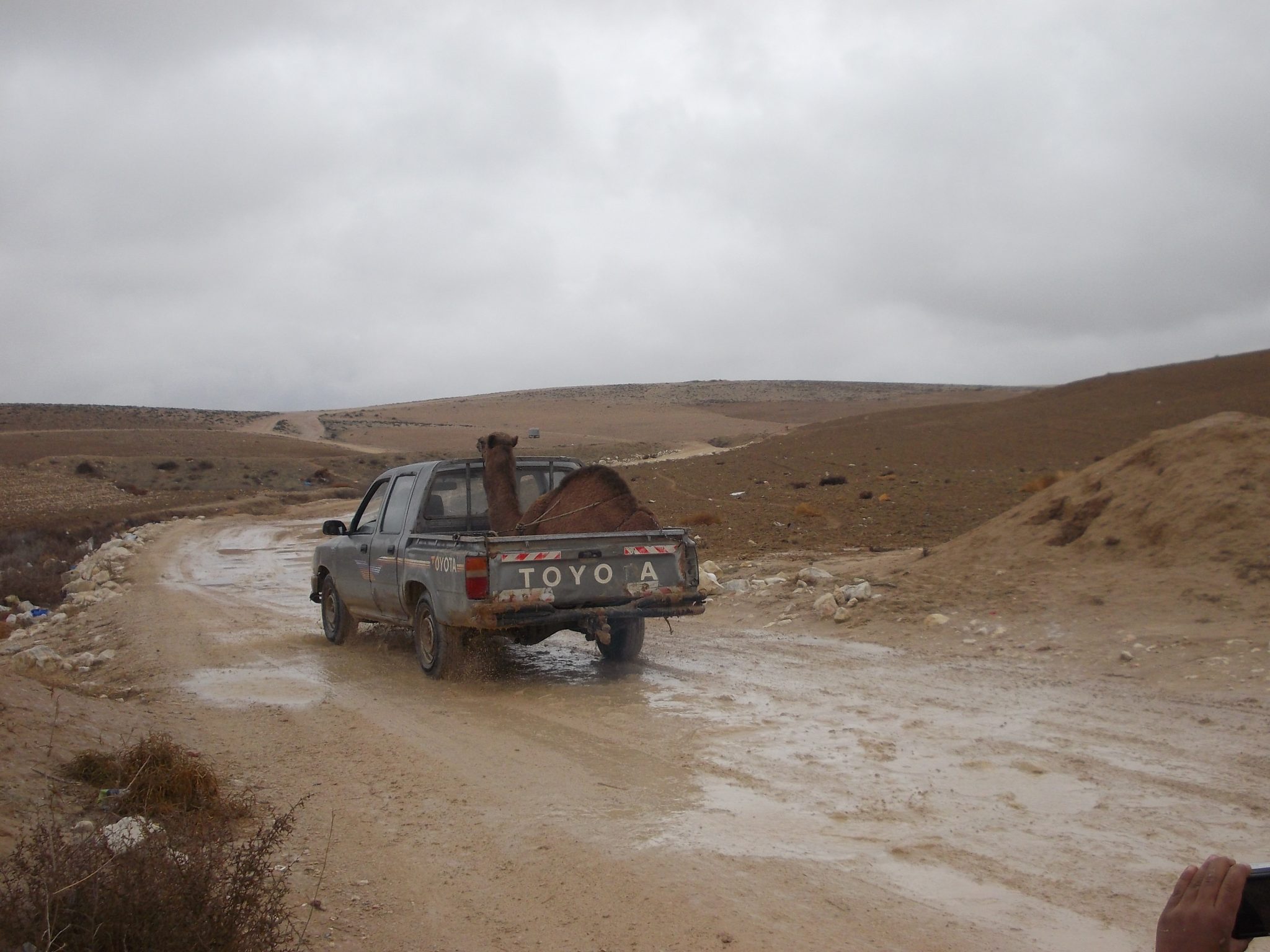
There are no educational and health services in the village of Ṣwāwīn. The children attend the school in the adjacent town of Šgīb as-Salām, about 7 km ride from the village, or go to other schools in the villages of Abu Tlūl and Wādi an-Naʿam. For medical care the residents travel to the clinic in Šgīb as-Salām, a ride that could take up to an hour due to the lack of paved roads.
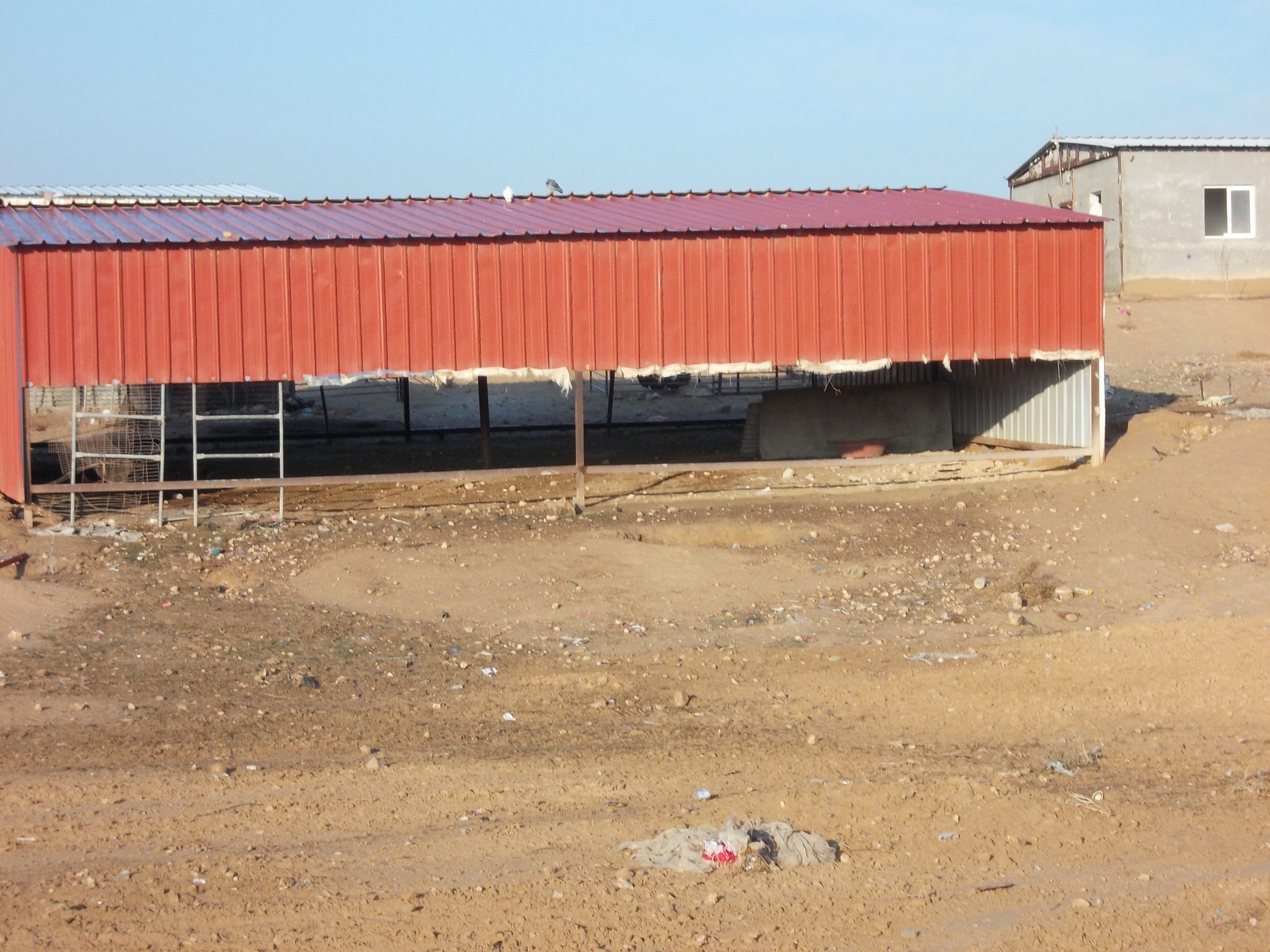
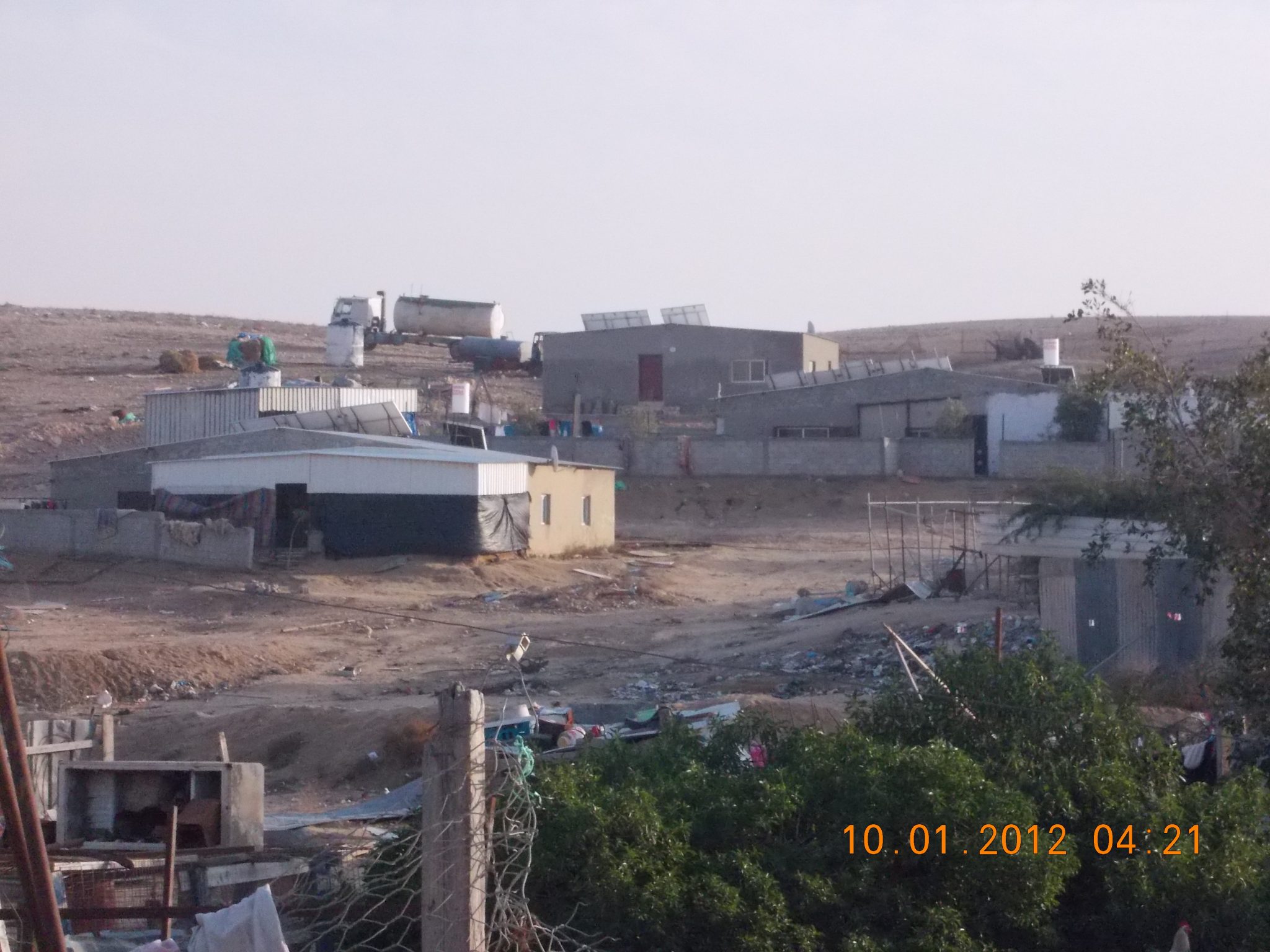
There are three connecting points to the main water pipe along road 25, and most of the residents are forced to carry their water by tanks. Only those residing near the road are able to use the infrastructure, yet they must lay pipe on their own cost. The village is not connected to the national electric grid, and the residents use solar panels and generators to produce their own electricity.
Threats
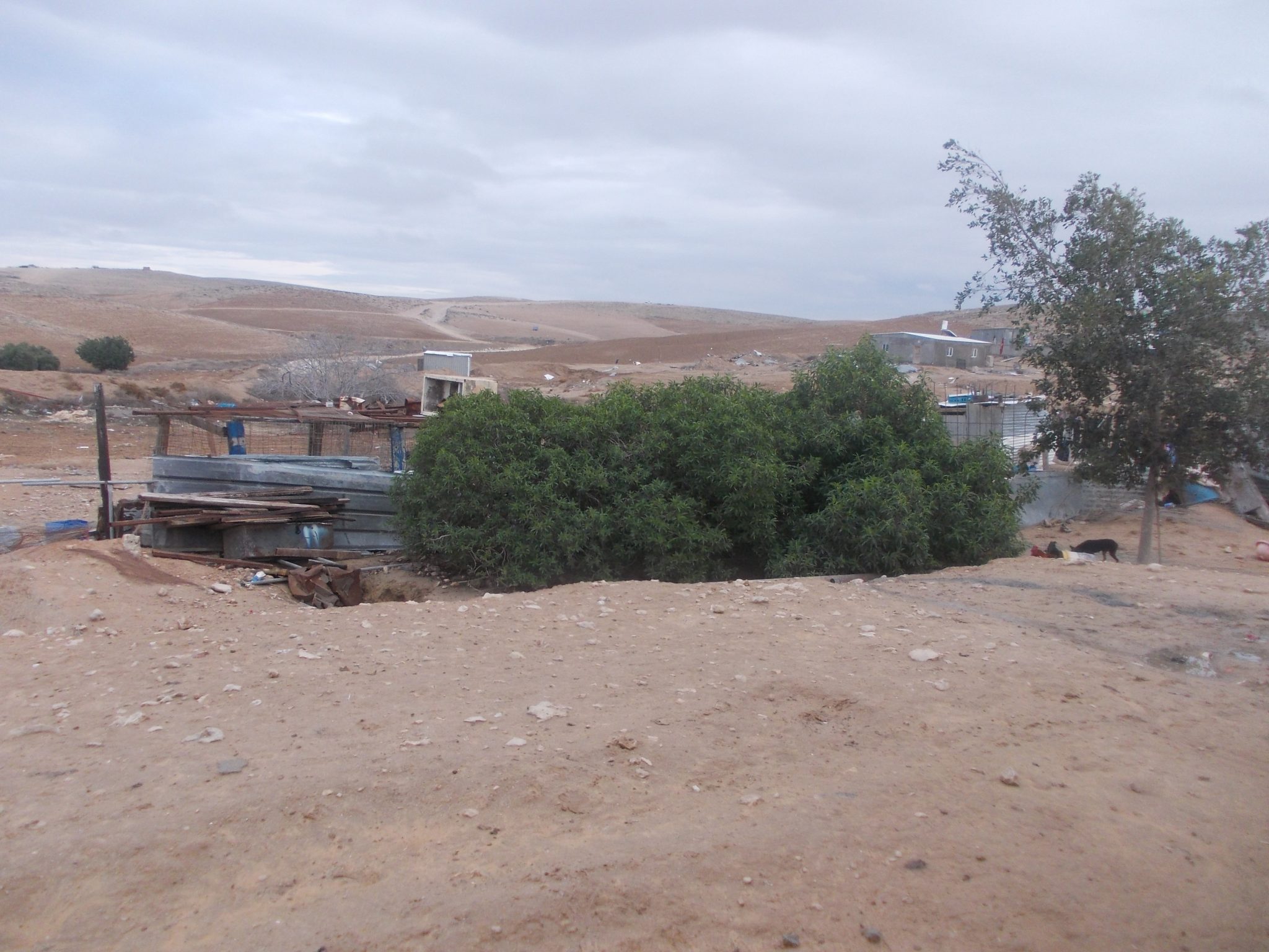
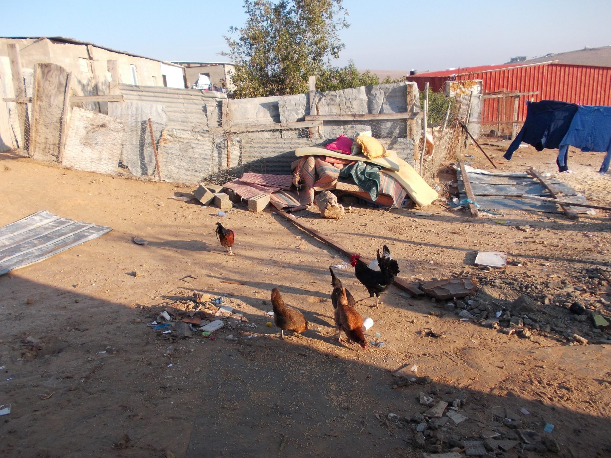
The village of Ṣwāwīn is an unrecognized village. According to the Be’er-Sheva Metropolitan Plan the village is mostly located in a zone designated an ‘combined agricultural landscape’, which could allow for the village to be recognized. At the same time, the southern section of road 6 is expected to be constructed at the heart of the village, leading to the destruction of many houses. Ṣwāwīn is subject to an intensive policy of house demolitions, and many homes have received demolition orders. The residents demand that their village be recognized in its current location, as an independent agricultural settlement.
-
-
-
-
-
 Unrecognized Village
 Recognized Village
 Bedouin Town
-
Threats
-
-
- Cave
- Cemetery
- Cistern
- Other
- Stone house
- Storage Pit
- Well
-